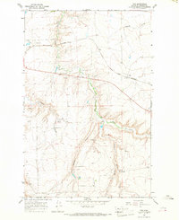
1965 Map of Fife
USGS Topo · Published 1968About this map
The Great Northern railroad tracks cut across this Cascade County landscape, serving the small settlement of Fife during the mid-1960s. The area is defined by a series of deep drainages including Box Elder Creek, Antelope Coulee, and Rogers Coulee, which create a complex topographical relief against the high plains. Education in this rural reach was anchored by several local schoolhouses, such as Box Elder Sch, Antelope Coulee Sch, and Spring Creek Sch, reflecting a distributed community structure typical of Big Sky country.
Find a feature on this map
15 named features on this map. Tap any name to fly to it.
Don’t see what you’re looking for? This feature index may not catch every label — zoom into the map to look around manually.
Map Details
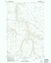
Editions of this 1965 Fife Map
2 editions found
Other maps of this area

1886 · Great Falls
USGS Topo · 1:250,000

1890 · Fort Benton
USGS Topo · 1:250,000

1892 · Fort Benton
USGS Topo · 1:250,000

1897 · Fort Benton
USGS Topo · 1:250,000

1948 · Portage
USGS Topo · 1:62,500

1949 · Portage
USGS Topo · 1:62,500

1954 · Great Falls
USGS Topo · 1:250,000

1954 · Waltham
USGS Topo · 1:24,000

1955 · Stockett
USGS Topo · 1:62,500

1956 · Highwood
USGS Topo · 1:62,500