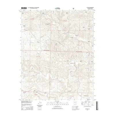
2014 Map of Fiftysix
USGS Topo · Published 2014About this map
Ozark National Forest dominates this section of Stone County, where the uniquely named settlement of Fiftysix sits at the junction of State Hwy 14 and Roasting Ear Rd. The landscape is defined by a dense network of hollows, such as Leatherwood Hollow and Gunner Hollow, carved by the various forks of N Sylamore Cr and S Sylamore Cr. Local history is anchored by small communities like Gayler, which features the Gayler Cem, and the cluster of Red Doors near the Red Doors Cem to the south.
Find a feature on this map
92 named features on this map. Tap any name to fly to it.
Don’t see what you’re looking for? This feature index may not catch every label — zoom into the map to look around manually.
Map Details
Editions of this 2014 Fiftysix Map
This is the sole edition of this map. No revisions or reprints were ever made.
Other maps of this area

1890 · Mountain Home
USGS Topo · 1:125,000

1891 · Mountain Home
USGS Topo · 1:125,000

1892 · Mountain View
USGS Topo · 1:125,000

1894 · Mountain View
USGS Topo · 1:125,000

1894 · Mountain Home
USGS Topo · 1:125,000

1945 · Harrison
USGS Topo · 1:250,000

1949 · Harrison
USGS Topo · 1:250,000

1954 · Harrison
USGS Topo · 1:250,000

1956 · Russellville
USGS Topo · 1:250,000

1958 · Harrison
USGS Topo · 1:250,000