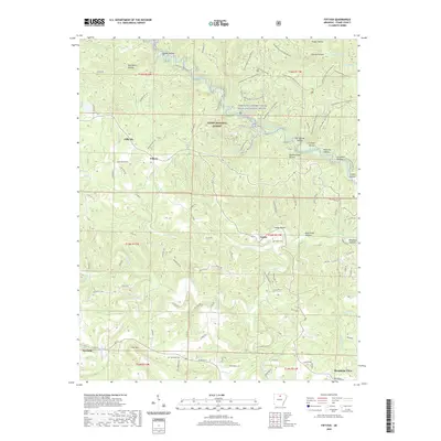
2020 Map of Fiftysix
USGS Topo · Published 2020About this map
The Ozark National Forest dominates this section of Stone County, where the topography is defined by a dense network of hollows and creek drainage. The North Sylamore Creek Wild and Scenic River carves through the northern half of the area, supported by landmarks such as Blanchard Spring and Gunner Pool Lake. Small settlements like Fiftysix and Gayler are situated along the winding ridge roads, reflecting a community pattern shaped by the sharp elevations of the Ozark plateau. To the south, the terrain begins to transition near Newnata and the outskirts of Mountain View. Local history is preserved in sites such as Gayler Cem and Red Doors Cem, while modern recreation is represented by the extensive Mirror Lake Trail and various bike trails that navigate the complex ridges and valleys.
Find a feature on this map
113 named features on this map. Tap any name to fly to it.
Don’t see what you’re looking for? This feature index may not catch every label — zoom into the map to look around manually.
Map Details
Editions of this 2020 Fiftysix Map
This is the sole edition of this map. No revisions or reprints were ever made.
Other maps of this area

1890 · Mountain Home
USGS Topo · 1:125,000

1891 · Mountain Home
USGS Topo · 1:125,000

1892 · Mountain View
USGS Topo · 1:125,000

1894 · Mountain View
USGS Topo · 1:125,000

1894 · Mountain Home
USGS Topo · 1:125,000

1945 · Harrison
USGS Topo · 1:250,000

1949 · Harrison
USGS Topo · 1:250,000

1954 · Harrison
USGS Topo · 1:250,000

1956 · Russellville
USGS Topo · 1:250,000

1958 · Harrison
USGS Topo · 1:250,000