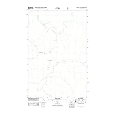
2011 Map of Figure 4 Ranch
USGS Topo · Published 2011About this map
Figure 4 Ranch and L Hanna Ranch anchor this landscape in western North Dakota, illustrating the enduring cattle ranching heritage of the region. The map reveals a sparse network of Bureau of Indian Affairs and local roads, including BIA Road 30 and County Rte-57, which navigate a terrain carved by substantial drainage systems. Two primary watercourses, Bear Den Creek and Deep Creek, provide the critical water sources necessary for maintaining livestock in this arid environment. The spatial arrangement of these ranch steadings relative to the coulees and creek beds highlights how human settlement patterns have adapted to the natural topography of the Badlands. This 2011 survey, published by the U.S. Geological Survey, documents the rural infrastructure and land use in a corner of the state where traditional ranching operations remain the primary economic driver.
Find a feature on this map
8 named features on this map. Tap any name to fly to it.
Don’t see what you’re looking for? This feature index may not catch every label — zoom into the map to look around manually.
Map Details
Editions of this 2011 Figure 4 Ranch Map
This is the sole edition of this map. No revisions or reprints were ever made.
Other maps of this area

1953 · Watford City
USGS Topo · 1:250,000

1957 · Watford City
USGS Topo · 1:250,000

1958 · North Killdeer Mountain
USGS Topo · 1:24,000

1959 · Croff
USGS Topo · 1:24,000

1965 · Johnsons Corner
USGS Topo · 1:24,000

1965 · Blue Buttes SE
USGS Topo · 1:24,000

1967 · Watford City
USGS Topo · 1:250,000

1967 · Sanish SW
USGS Topo · 1:24,000

1970 · Mandaree
USGS Topo · 1:24,000

1970 · Lost Bridge
USGS Topo · 1:24,000