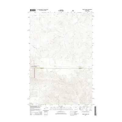
2014 Map of Figure 4 Ranch
USGS Topo · Published 2014About this map
Figure 4 Ranch sits at the heart of this North Dakota landscape, straddling the boundary between McKenzie and Dunn counties. The terrain is defined by the winding drainages of Bear Den Cr and Deep Cr, which carve through the high plains. A significant portion of the western region falls within the Little Missouri National Grassland, reflecting a land use pattern of public grazing and conservation. The map details a thin network of section-line roads and named routes like Bear Den Rd and 23rd St NW, which provide access to this isolated ranching territory. This survey documents the intersection of rural agriculture and federal land management in the badlands region during the early 21st century.
Find a feature on this map
12 named features on this map. Tap any name to fly to it.
Don’t see what you’re looking for? This feature index may not catch every label — zoom into the map to look around manually.
Map Details
Editions of this 2014 Figure 4 Ranch Map
This is the sole edition of this map. No revisions or reprints were ever made.
Other maps of this area

1953 · Watford City
USGS Topo · 1:250,000

1957 · Watford City
USGS Topo · 1:250,000

1958 · North Killdeer Mountain
USGS Topo · 1:24,000

1959 · Croff
USGS Topo · 1:24,000

1965 · Johnsons Corner
USGS Topo · 1:24,000

1965 · Blue Buttes SE
USGS Topo · 1:24,000

1967 · Watford City
USGS Topo · 1:250,000

1967 · Sanish SW
USGS Topo · 1:24,000

1970 · Mandaree
USGS Topo · 1:24,000

1970 · Lost Bridge
USGS Topo · 1:24,000