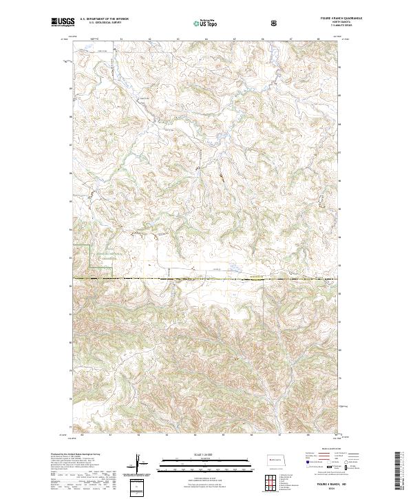
2024 Map of Figure 4 Ranch
USGS Topo · Published 2024About this map
Little Missouri National Grassland dominates this section of the North Dakota badlands, where the landscape is defined by the intricate drainage systems of Bear Den Creek and Deep Creek. The map reveals a remote ranching environment partitioned by the Public Land Survey System, with township boundaries for t149n r95w and t148n r95w marking the rugged transition between McKenzie and Dunn counties. While much of the area remains undeveloped within the national grassland, a network of section line roads like 104th Ave NW and specialized routes such as BIA Rte 30 and Bear Den Rd provide access to this isolated interior. The documentation of these Bureau of Indian Affairs and county routes offers insight into the modern infrastructure supporting land management and local transit in a region traditionally known for its sprawling cattle ranges.
Find a feature on this map
19 named features on this map. Tap any name to fly to it.
Don’t see what you’re looking for? This feature index may not catch every label — zoom into the map to look around manually.
Map Details
Editions of this 2024 Figure 4 Ranch Map
This is the sole edition of this map. No revisions or reprints were ever made.
Other maps of this area

1953 · Watford City
USGS Topo · 1:250,000

1957 · Watford City
USGS Topo · 1:250,000

1958 · North Killdeer Mountain
USGS Topo · 1:24,000

1959 · Croff
USGS Topo · 1:24,000

1965 · Johnsons Corner
USGS Topo · 1:24,000

1965 · Blue Buttes SE
USGS Topo · 1:24,000

1967 · Watford City
USGS Topo · 1:250,000

1967 · Sanish SW
USGS Topo · 1:24,000

1970 · Mandaree
USGS Topo · 1:24,000

1970 · Lost Bridge
USGS Topo · 1:24,000