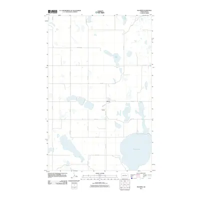
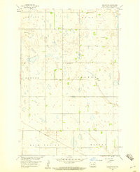
2011 Map of Fillmore
USGS Topo · Published 2011About this map
Fillmore is the primary settlement on this North Dakota prairie landscape, situated near the intersection of 38th Ave NE and 53rd St NE. The geography is defined by a dense concentration of wetlands and pothole lakes typical of the region, ranging from the expansive Cranberry Lake in the southeast to smaller bodies like Sand Lake and Long Lake. This network of water across the terrain suggests a legacy of glacial activity that shaped the drainage patterns visible here in the early 21st century. Local history and genealogy are centered on the community at Fillmore and the nearby Saint Anne Cemetery, which serves the surrounding rural township. The grid-like road system, including thoroughfares such as County Rd 0305 and Slotto Rd, provides a clear view of the agricultural division of the land and the sparse distribution of farmsteads between the lake basins.
Find a feature on this map
18 named features on this map. Tap any name to fly to it.
Don’t see what you’re looking for? This feature index may not catch every label — zoom into the map to look around manually.
Map Details
Editions of this 2011 Fillmore Map
This is the sole edition of this map. No revisions or reprints were ever made.
Other maps of this area

1953 · Devils Lake
USGS Topo · 1:250,000

1955 · Rugby
USGS Topo · 1:24,000

1956 · Devils Lake
USGS Topo · 1:250,000

1958 · Fillmore
USGS Topo · 1:24,000
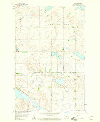
1958 · Silva
USGS Topo · 1:24,000

1958 · Baker
USGS Topo · 1:24,000
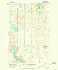
1958 · Esmond
USGS Topo · 1:24,000
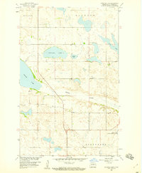
1958 · Petrified Lake
USGS Topo · 1:24,000
1958 · Harlow SW
USGS Topo · 1:24,000

1971 · Knox
USGS Topo · 1:24,000