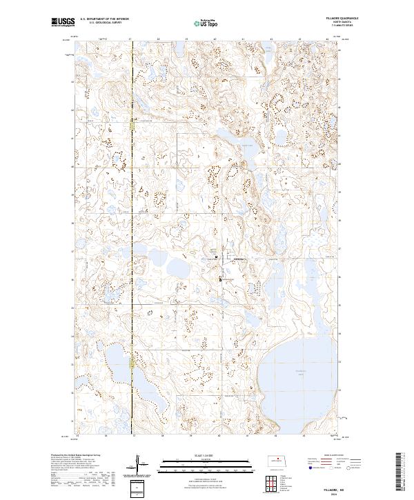
2024 Map of Fillmore
USGS Topo · Published 2024About this map
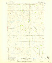
Fillmore serves as the quiet center of this North Dakota prairie landscape, situated right at the boundary of Pierce Co and Benson Co. The settlement pattern reflects the traditional Great Plains grid, with a network of section line roads like 52nd St NE and 38th Ave NE connecting isolated farmsteads and agricultural tracts. Genealogy interests are centered on the Fillmore Lutheran Cem and Saint Anns Cem, which anchor the community's local history near the town site.
Find a feature on this map
34 named features on this map. Tap any name to fly to it.
Don’t see what you’re looking for? This feature index may not catch every label — zoom into the map to look around manually.
Map Details
Editions of this 2024 Fillmore Map
This is the sole edition of this map. No revisions or reprints were ever made.
Other maps of this area

1953 · Devils Lake
USGS Topo · 1:250,000

1955 · Rugby
USGS Topo · 1:24,000

1956 · Devils Lake
USGS Topo · 1:250,000

1958 · Fillmore
USGS Topo · 1:24,000
1958 · Silva
USGS Topo · 1:24,000

1958 · Baker
USGS Topo · 1:24,000
1958 · Esmond
USGS Topo · 1:24,000
1958 · Petrified Lake
USGS Topo · 1:24,000
1958 · Harlow SW
USGS Topo · 1:24,000

1971 · Knox
USGS Topo · 1:24,000