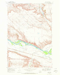
1968 Map of Finch
USGS Topo · Published 1972About this map
The Yellowstone River cuts a wide path through this portion of Rosebud County, defining the agricultural and industrial character of Howard Valley and Hammond Valley. The irrigation infrastructure is remarkably detailed, tracing the routes of the Yellowstone Canal, Lewis and Clark Canal, and Hammond Valley Canal as they parallel the riverbanks. These water systems supported the small community of Finch and the nearby Howard Sch, providing the backbone for the region's ranching and farming operations during the late 1960s.
Find a feature on this map
18 named features on this map. Tap any name to fly to it.
Don’t see what you’re looking for? This feature index may not catch every label — zoom into the map to look around manually.
Map Details
Editions of this 1968 Finch Map
2 editions found
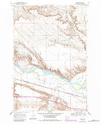
Other maps of this area
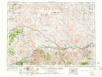
1954 · Forsyth
USGS Topo · 1:250,000
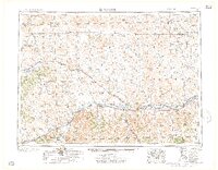
1957 · Forsyth
USGS Topo · 1:250,000
1958 · Forsyth
USGS Topo · 1:250,000
1960 · Vananda
USGS Topo · 1:24,000
1960 · Sanders
USGS Topo · 1:24,000
1968 · Donleys Reservoir
USGS Topo · 1:24,000
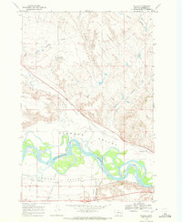
1968 · Nichols
USGS Topo · 1:24,000
1968 · Finch NE
USGS Topo · 1:24,000
1971 · Griffin Coulee NE
USGS Topo · 1:24,000
1971 · Griffin Coulee NW
USGS Topo · 1:24,000