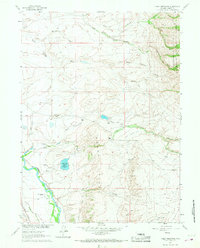
1961 Map of Finley Reservoir
USGS Topo · Published 1968About this map
The North Platte River winds through this Carbon County landscape, defining a corridor of high-altitude ranching and water management in the early 1960s. The map illustrates a complex network of irrigation infrastructure essential to the region's agricultural viability, including the Wiant Highland Ditch, Hay Creek Ditch, and Brewer DITCH. These systems feed into and out of critical storage points like the Finley Reservoir and the Horn and Meason Reservoir.
Find a feature on this map
38 named features on this map. Tap any name to fly to it.
Don’t see what you’re looking for? This feature index may not catch every label — zoom into the map to look around manually.
Map Details
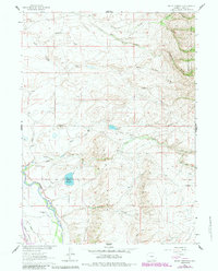
Editions of this 1961 Finley Reservoir Map
3 editions found
Other maps of this area

1893 · Fort Steele
USGS Topo · 1:125,000

1939 · Saratoga
USGS Topo · 1:125,000

1954 · Rawlins
USGS Topo · 1:250,000

1955 · Overland
USGS Topo · 1:24,000

1955 · Oberg Ranch
USGS Topo · 1:24,000

1955 · Coad Mountain
USGS Topo · 1:24,000

1958 · Rawlins
USGS Topo · 1:250,000

1961 · Ryan Park
USGS Topo · 1:24,000
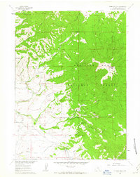
1961 · Kennaday Peak
USGS Topo · 1:24,000
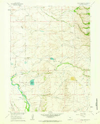
1961 · Finley Reservoir
USGS Topo · 1:24,000