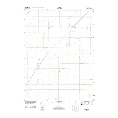
2010 Map of Fireside
USGS Topo · Published 2010About this map
Fireside and the surrounding Thompson Township countryside appear here as a landscape defined by its agricultural grid and a dense network of early burial grounds. The map captures the quiet intersection of small settlements like West Lodi and Cooper with the drainage patterns of Emerson Creek and Beaver Creek. A notable modern landmark, the Bandit Field Airdrome, sits just north of County Road 32, contrasting with the many historic family and community plots that dot the area. For those researching local lineages, the distribution of sites like Thompson Center Cemetery, Adams Lutheran Cemetery, and Underhill Cemetery provides a clear spatial record of early settlement clusters. The drainage system, featuring hand-cut waterways like Royer Ditch and Albright Ditch, reflects the engineering required to manage this flat section of Seneca County for productive farming.
Find a feature on this map
56 named features on this map. Tap any name to fly to it.
Don’t see what you’re looking for? This feature index may not catch every label — zoom into the map to look around manually.
Map Details
Editions of this 2010 Fireside Map
This is the sole edition of this map. No revisions or reprints were ever made.
Other maps of this area

1901 · Bellevue
USGS Topo · 1:62,500

1901 · Fremont
USGS Topo · 1:62,500

1903 · Bellevue
USGS Topo · 1:62,500

1903 · Fremont
USGS Topo · 1:62,500

1906 · Tiffin
USGS Topo · 1:62,500

1915 · Siam
USGS Topo · 1:62,500

1956 · Toledo
USGS Topo · 1:250,000
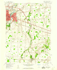
1958 · Fremont East
USGS Topo · 1:24,000
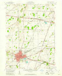
1959 · Bellevue
USGS Topo · 1:24,000
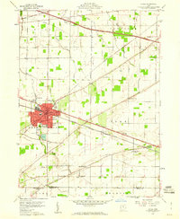
1959 · Clyde
USGS Topo · 1:24,000