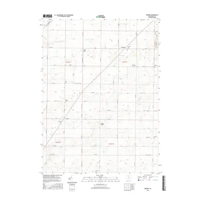
2016 Map of Fireside
USGS Topo · Published 2016About this map
Fireside and the surrounding agricultural townships of Seneca County are depicted in this 2016 survey, showcasing a landscape defined by an extensive drainage network and scattered rural settlements. Small communities like West Lodi and Cooper anchor a territory crisscrossed by many local routes, including Co RD 32 and cr34. The land's hydrological management is evident through numerous man-made and natural watercourses, such as Albright Ditch, Noel Ditch, and Royer Ditch, which support the region's long-standing farming tradition.
Find a feature on this map
66 named features on this map. Tap any name to fly to it.
Don’t see what you’re looking for? This feature index may not catch every label — zoom into the map to look around manually.
Map Details
Editions of this 2016 Fireside Map
This is the sole edition of this map. No revisions or reprints were ever made.
Other maps of this area

1901 · Bellevue
USGS Topo · 1:62,500

1901 · Fremont
USGS Topo · 1:62,500

1903 · Bellevue
USGS Topo · 1:62,500

1903 · Fremont
USGS Topo · 1:62,500

1906 · Tiffin
USGS Topo · 1:62,500

1915 · Siam
USGS Topo · 1:62,500

1956 · Toledo
USGS Topo · 1:250,000
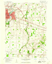
1958 · Fremont East
USGS Topo · 1:24,000
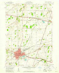
1959 · Bellevue
USGS Topo · 1:24,000
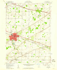
1959 · Clyde
USGS Topo · 1:24,000