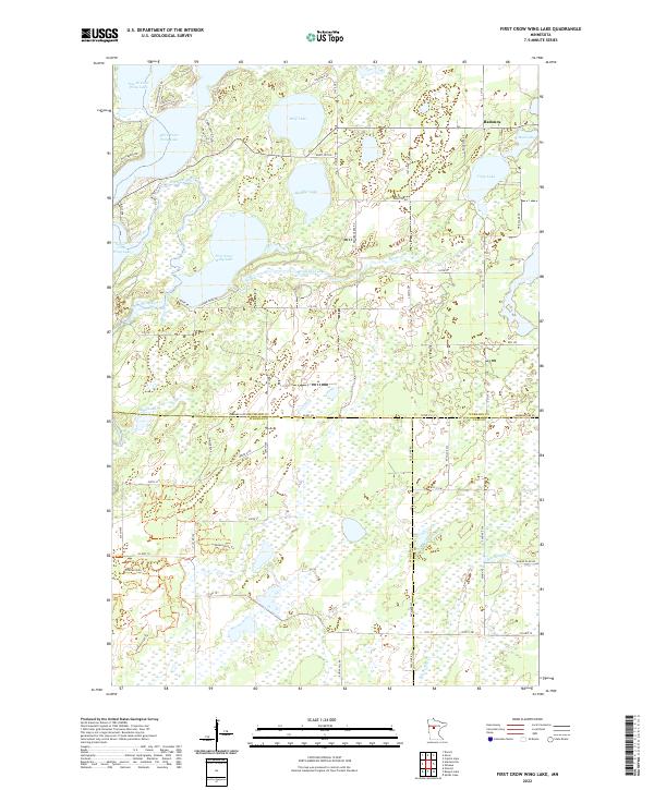
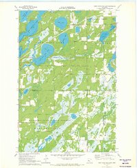
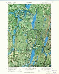
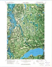
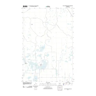
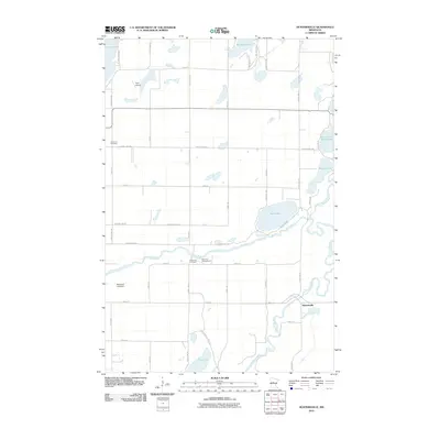
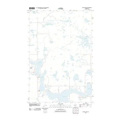
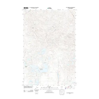
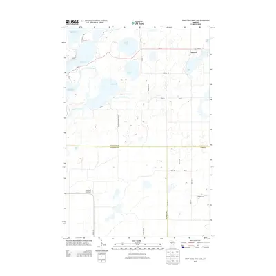
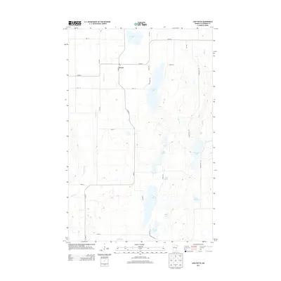
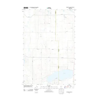
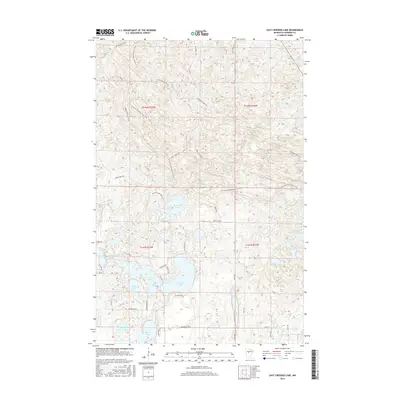
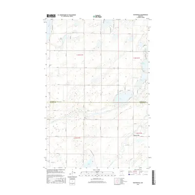
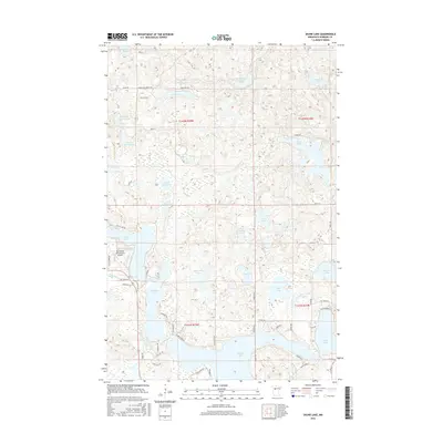
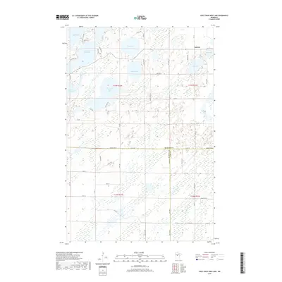
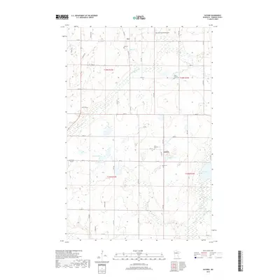
2022 Map of First Crow Wing Lake
USGS Topo · Published 2022About this map
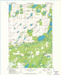
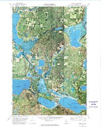
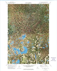
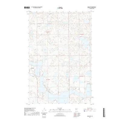
The Crow Wing River system flows through this Hubbard County landscape, connecting a chain of significant water bodies including First Crow Wing Lake, Second Crow Wing Lake, and Third Crow Wing Lake. The terrain is defined by its post-glacial hydrology, where large basins like Wolf Lake and Tripp Lake are surrounded by extensive wetland networks and smaller features such as Bladder Lake.
Find a feature on this map
62 named features on this map. Tap any name to fly to it.
Don’t see what you’re looking for? This feature index may not catch every label — zoom into the map to look around manually.
Map Details
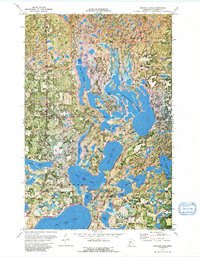
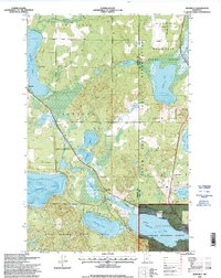
Editions of this 2022 First Crow Wing Lake Map
This is the sole edition of this map. No revisions or reprints were ever made.
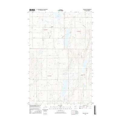
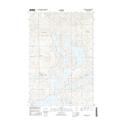
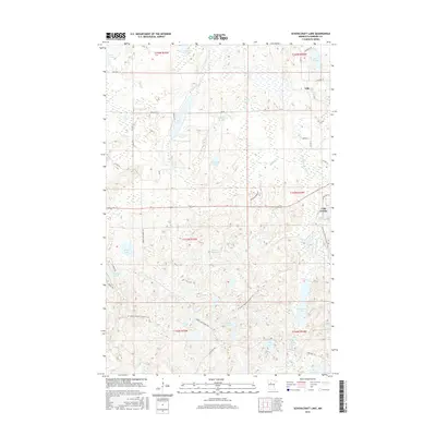
Historical Maps of Badoura Through Time
80 maps found
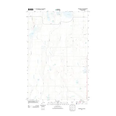
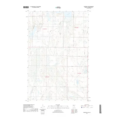
1968 Frontenac Lake
Hubbard County, MN

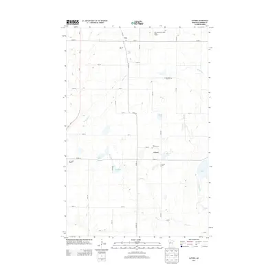
1968 Guthrie
Hubbard County, MN
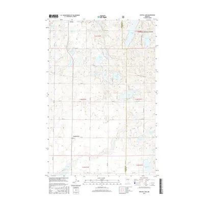
1970 Crystal Lake
Hubbard County, MN
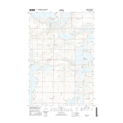
1970 Dorset
Hubbard County, MN
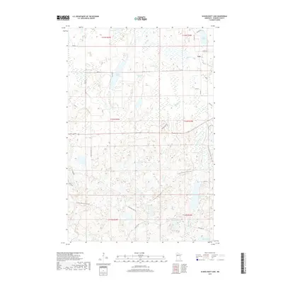
1970 First Crow Wing Lake
Hubbard County, MN
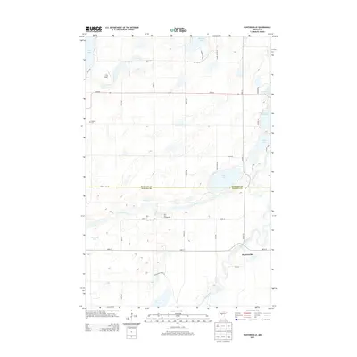
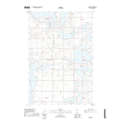
1970 Huntersville
Hubbard County, MN
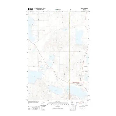
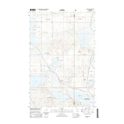
1972 Benedict
Hubbard County, MN
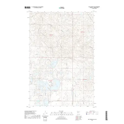
1972 East Crooked Lake
Hubbard County, MN
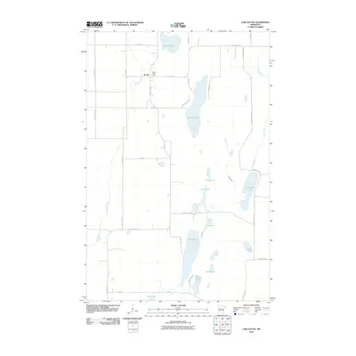
1972 Lake Hattie
Hubbard County, MN
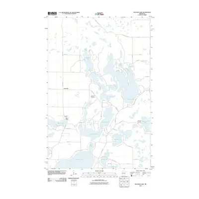
1972 Mantrap Lake
Hubbard County, MN
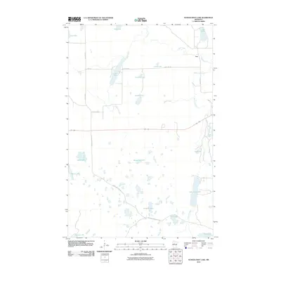
1972 Schoolcraft Lake
Hubbard County, MN
1972 Skunk Lake
Hubbard County, MN
1972 Steamboat Lake
Hubbard County, MN
1996 Benedict
Hubbard County, MN
1996 Crystal Lake
Hubbard County, MN
2010 Dorset
Hubbard County, MN
2010 East Crooked Lake
Hubbard County, MN
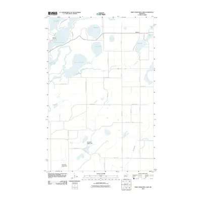
2010 First Crow Wing Lake
Hubbard County, MN
2010 Frontenac Lake
Hubbard County, MN
2010 Guthrie
Hubbard County, MN
2010 Huntersville
Hubbard County, MN
2010 Lake Hattie
Hubbard County, MN
2010 Mantrap Lake
Hubbard County, MN
2010 Schoolcraft Lake
Hubbard County, MN
2010 Skunk Lake
Hubbard County, MN
2010 Steamboat Lake
Hubbard County, MN
2011 Benedict
Hubbard County, MN
2011 Crystal Lake
Hubbard County, MN
2013 Benedict
Hubbard County, MN
2013 Crystal Lake
Hubbard County, MN
2013 Dorset
Hubbard County, MN
2013 East Crooked Lake
Hubbard County, MN
2013 First Crow Wing Lake
Hubbard County, MN
2013 Frontenac Lake
Hubbard County, MN
2013 Guthrie
Hubbard County, MN
2013 Huntersville
Hubbard County, MN
2013 Lake Hattie
Hubbard County, MN
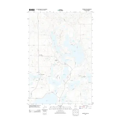
2013 Mantrap Lake
Hubbard County, MN
2013 Schoolcraft Lake
Hubbard County, MN
2013 Skunk Lake
Hubbard County, MN
2013 Steamboat Lake
Hubbard County, MN
2016 Benedict
Hubbard County, MN
2016 Crystal Lake
Hubbard County, MN
2016 Dorset
Hubbard County, MN
2016 East Crooked Lake
Hubbard County, MN
2016 First Crow Wing Lake
Hubbard County, MN
2016 Frontenac Lake
Hubbard County, MN
2016 Guthrie
Hubbard County, MN
2016 Huntersville
Hubbard County, MN
2016 Lake Hattie
Hubbard County, MN
2016 Mantrap Lake
Hubbard County, MN
2016 Schoolcraft Lake
Hubbard County, MN
2016 Skunk Lake
Hubbard County, MN
2016 Steamboat Lake
Hubbard County, MN
2019 Benedict
Hubbard County, MN
2019 Crystal Lake
Hubbard County, MN
2019 Dorset
Hubbard County, MN
2019 East Crooked Lake
Hubbard County, MN
2019 First Crow Wing Lake
Hubbard County, MN
2019 Frontenac Lake
Hubbard County, MN
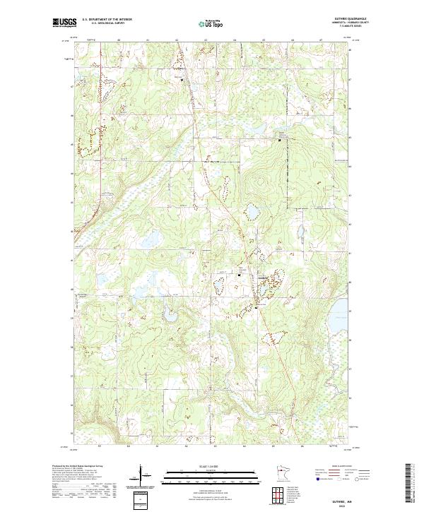
2019 Guthrie
Hubbard County, MN
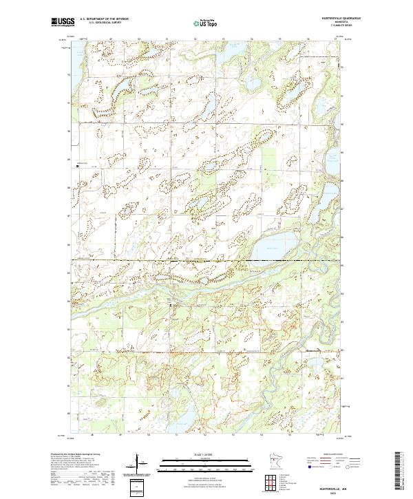
2019 Huntersville
Hubbard County, MN
2019 Lake Hattie
Hubbard County, MN
2019 Mantrap Lake
Hubbard County, MN
2019 Schoolcraft Lake
Hubbard County, MN
2019 Skunk Lake
Hubbard County, MN
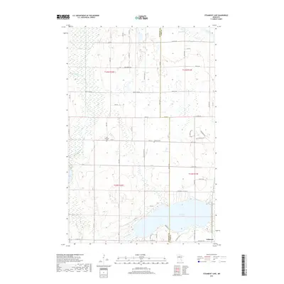
2019 Steamboat Lake
Hubbard County, MN
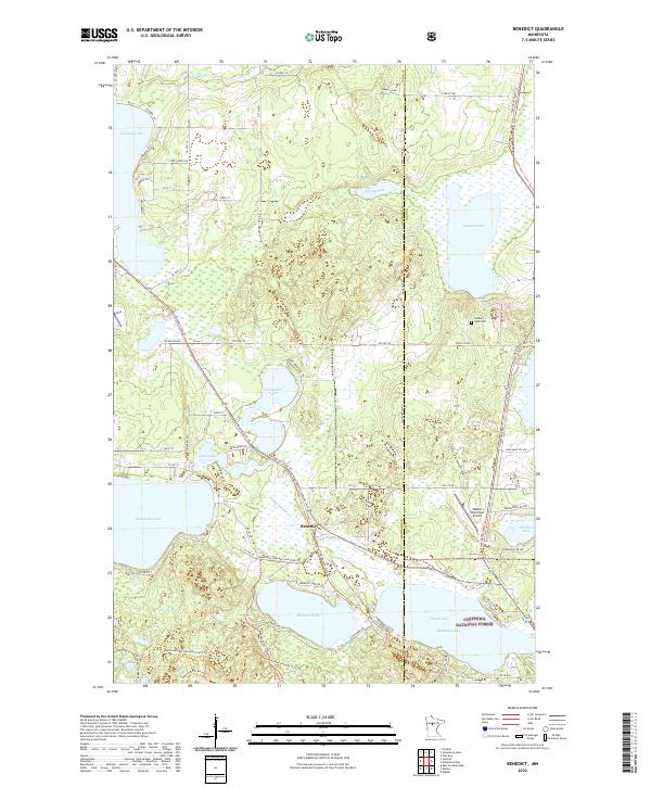
2022 Benedict
Hubbard County, MN
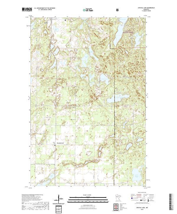
2022 Crystal Lake
Hubbard County, MN
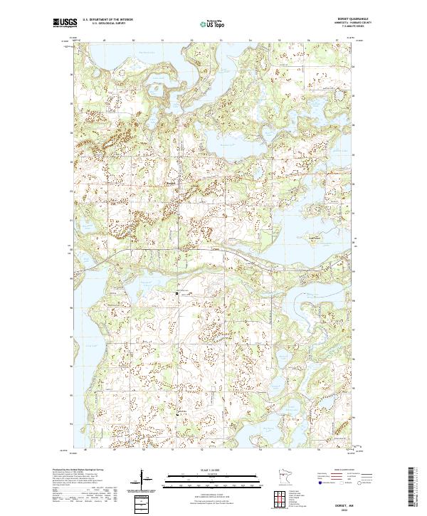
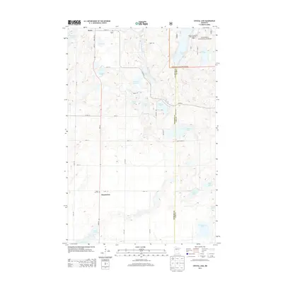
2022 Dorset
Hubbard County, MN
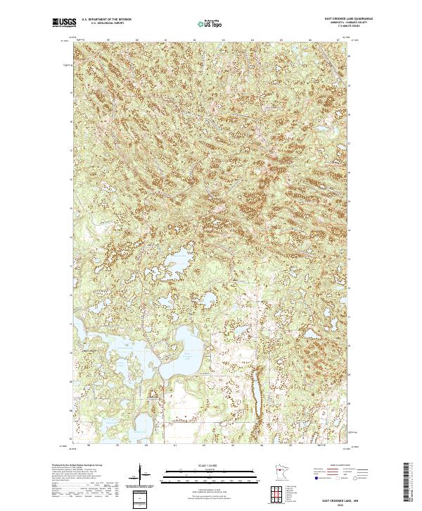
2022 East Crooked Lake
Hubbard County, MN
2022 First Crow Wing Lake
Hubbard County, MN
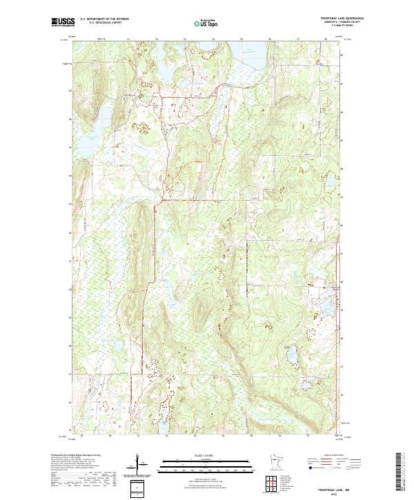
2022 Frontenac Lake
Hubbard County, MN
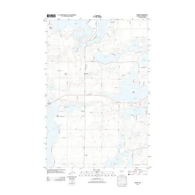
2022 Guthrie
Hubbard County, MN
2022 Huntersville
Hubbard County, MN
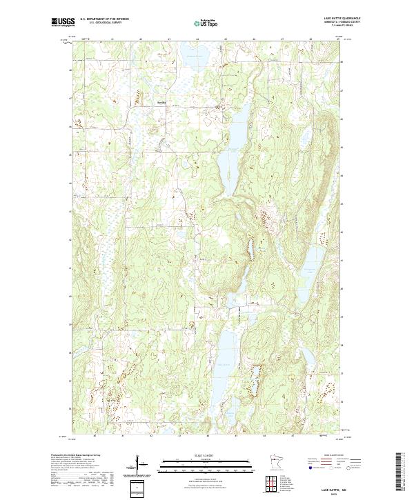
2022 Lake Hattie
Hubbard County, MN
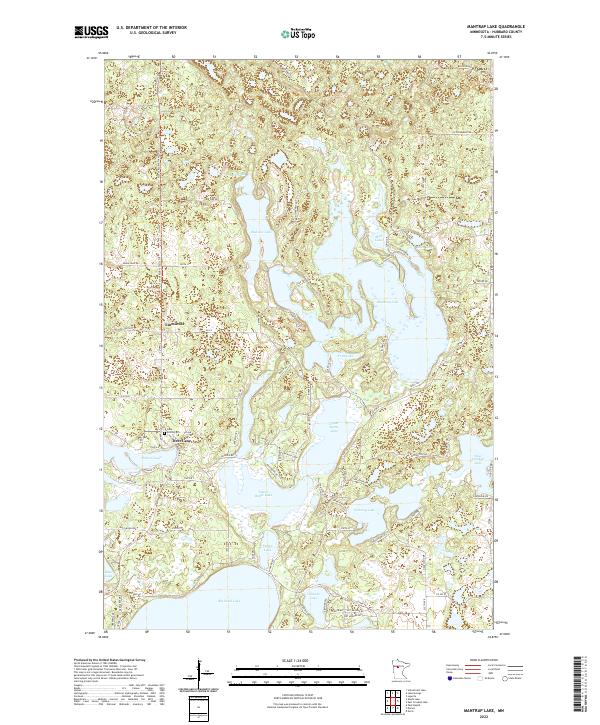
2022 Mantrap Lake
Hubbard County, MN
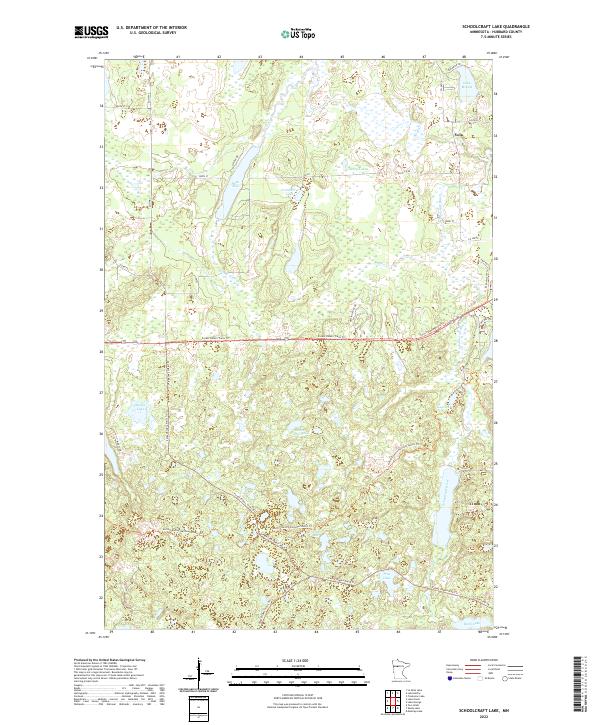
2022 Schoolcraft Lake
Hubbard County, MN
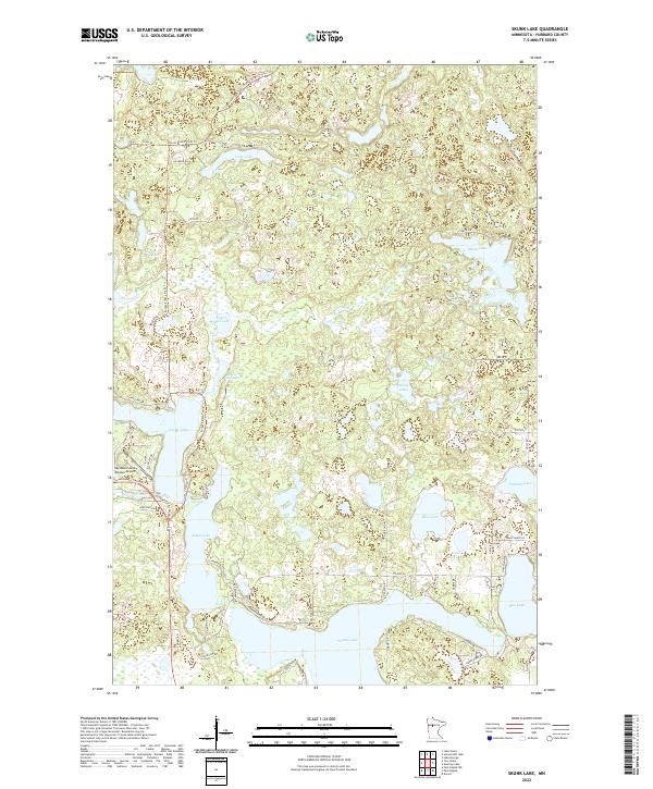
2022 Skunk Lake
Hubbard County, MN
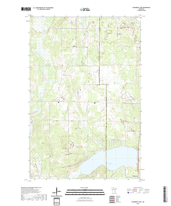
2022 Steamboat Lake
Hubbard County, MN