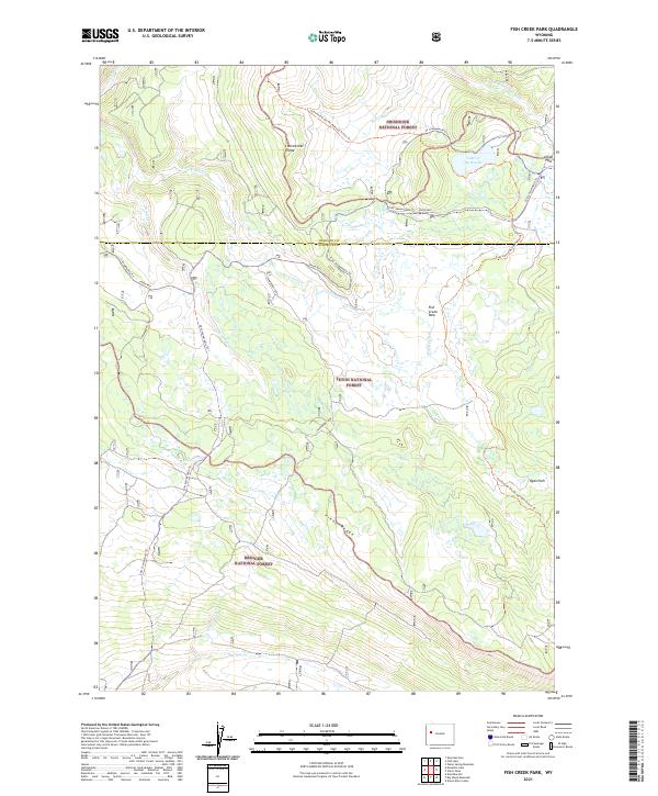
2021 Map of Fish Creek Park
USGS Topo · Published 2021About this map
The Continental Divide forms a high-altitude spine through this landscape where the boundaries of the Shoshone National Forest, Teton National Forest, and Bridger National Forest converge. High in the mountains at Union Pass, the terrain dictates the flow of water and travel, separating the Fremont and Sublette County line. The map details a complex network of seasonal paths including the Continental Divide National Scenic Trl and the Strawberry Loop, indicating the area's primary use for high-country recreation and wildlife passage.
Find a feature on this map
27 named features on this map. Tap any name to fly to it.
Don’t see what you’re looking for? This feature index may not catch every label — zoom into the map to look around manually.
Map Details
Editions of this 2021 Fish Creek Park Map
This is the sole edition of this map. No revisions or reprints were ever made.
Other maps of this area

1902 · Mt Leidy
USGS Topo · 1:125,000

1905 · Younts Peak
USGS Topo · 1:125,000

1907 · Younts Peak
USGS Topo · 1:125,000

1907 · Gros Ventre
USGS Topo · 1:125,000

1909 · Fremont Peak
USGS Topo · 1:125,000

1910 · Gros Ventre
USGS Topo · 1:125,000

1955 · Driggs
USGS Topo · 1:250,000

1955 · Thermopolis
USGS Topo · 1:250,000

1956 · Warm Spring Mountain
USGS Topo · 1:24,000

1956 · Fish Lake
USGS Topo · 1:24,000