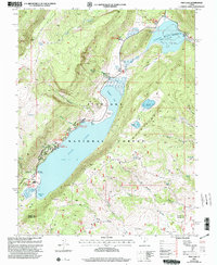
2001 Map of Fish Lake
USGS Topo · Published 2003About this map
Fish Lake dominates this high-altitude landscape within the Fish Lake National Forest, serving as a central hub for recreation and hydrology in the Sevier Co and Wayne Co borderlands. The map reveals a sophisticated network of forest management and tourism at the dawn of the 21st century, centered on the settlement of Fishlake and a series of organized campsites including Doctor Creek Campground and Twin Creeks Campground. The terrain is characterized by dramatic elevations, from the Hightop Plateau to the shores of Widgeon Bay. To the northeast, the Johnson Valley Reservoir and its spillway manage the flow of the Fremont River, while features like Elias Wells and Reflection Spring indicate the critical importance of water resources in this alpine environment. The presence of a designated Historic Site near the lake's northern shore suggests a long-standing human connection to this high-mountain basin.
Find a feature on this map
60 named features on this map. Tap any name to fly to it.
Don’t see what you’re looking for? This feature index may not catch every label — zoom into the map to look around manually.
Map Details
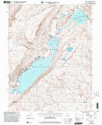
Editions of this 2001 Fish Lake Map
2 editions found
Other maps of this area

1885 · Fish Lake
USGS Topo · 1:250,000

1896 · Fish Lake
USGS Topo · 1:250,000

1952 · Loa 1 NE
USGS Topo · 1:24,000

1956 · Salina
USGS Topo · 1:250,000

1960 · Salina
USGS Topo · 1:250,000

1962 · Salina
USGS Topo · 1:250,000

1967 · Lyman
USGS Topo · 1:24,000

1968 · Fish Lake
USGS Topo · 1:24,000
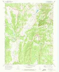
1968 · Hilgard Mtn
USGS Topo · 1:24,000
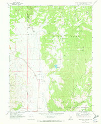
1968 · Boobe Hole Reservoir
USGS Topo · 1:24,000