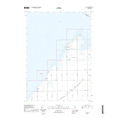
2019 Map of Fish Point
USGS Topo · Published 2019About this map
Thomas and Bay Park anchor the shoreline of Saginaw Bay on this 2019 survey of the Michigan coast. The landscape is defined by the prominent landform of Fish Point, where the low-lying terrain meets the waters of Lake Huron. The interior shows a rigorous grid of drainage and irrigation, exemplified by the Wisconsin Drain and numerous straight-line section roads such as Ringle Rd and Clark Rd. These roads segment the agricultural lands of Akron Township, reflecting a highly managed rural environment where small settlements like Oakhurst serve as local crossroads.
Find a feature on this map
38 named features on this map. Tap any name to fly to it.
Don’t see what you’re looking for? This feature index may not catch every label — zoom into the map to look around manually.
Map Details
Editions of this 2019 Fish Point Map
This is the sole edition of this map. No revisions or reprints were ever made.
Other maps of this area

1954 · Flint
USGS Topo · 1:250,000

1958 · Flint
USGS Topo · 1:250,000

1963 · Quanicassee
USGS Topo · 1:24,000

1963 · Fish Point
USGS Topo · 1:24,000

1963 · Fairgrove
USGS Topo · 1:24,000

1963 · Colling
USGS Topo · 1:24,000

1963 · Sebewaing
USGS Topo · 1:24,000

1970 · Bay Port West
USGS Topo · 1:24,000
1984 · Bay City
USGS Topo · 1:100,000
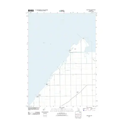
2011 · Fish Point
USGS Topo · 1:24,000