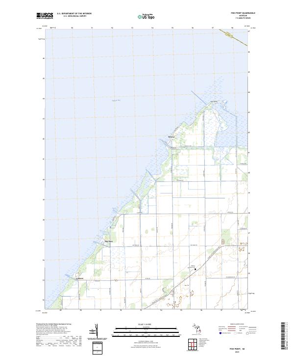
2023 Map of Fish Point
USGS Topo · Published 2023About this map
Saginaw Bay defines the northwestern edge of this landscape, where the land fragment of Fish Point juts into the water. This 2023 edition documents the low-lying coastal terrain of Tuscola County, characterized by a complex network of drainage and roads that support the lakeside settlements. Small communities like Thomas, Bay Park, and Oakhurst are situated along the shoreline, reflecting a history of coastal habitation. Inland, the grid of section lines is marked by a concentration of agricultural roads, including Thomas Rd, Ringle Rd, and Austin Rd. The presence of Hickory Highland Cem near W Bay City Forestville Rd provides a specific point of interest for genealogists and local historians tracing the families who settled this marshy peninsula. The Wisconsin Drain further illustrates the engineered nature of the water management necessary in this shoreline environment.
Find a feature on this map
35 named features on this map. Tap any name to fly to it.
Don’t see what you’re looking for? This feature index may not catch every label — zoom into the map to look around manually.
Map Details
Editions of this 2023 Fish Point Map
This is the sole edition of this map. No revisions or reprints were ever made.
Other maps of this area

1954 · Flint
USGS Topo · 1:250,000

1958 · Flint
USGS Topo · 1:250,000

1963 · Quanicassee
USGS Topo · 1:24,000

1963 · Fish Point
USGS Topo · 1:24,000

1963 · Fairgrove
USGS Topo · 1:24,000

1963 · Colling
USGS Topo · 1:24,000

1963 · Sebewaing
USGS Topo · 1:24,000

1970 · Bay Port West
USGS Topo · 1:24,000
1984 · Bay City
USGS Topo · 1:100,000
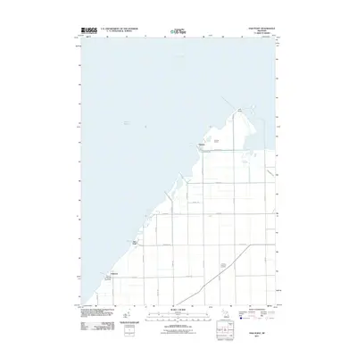
2011 · Fish Point
USGS Topo · 1:24,000