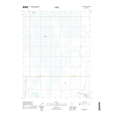
2020 Map of Fish Springs NE
USGS Topo · Published 2020About this map
The Great Salt Lake Desert dominates this landscape, revealing a stark environment where seasonal hydrology and historical transportation routes converge. In the southern portion of the map, a complex of named wetlands including Gadwall Pool, Ibis Pool, and Egret Pool contrasts with the surrounding Fish Springs Flat, indicating a vital water source in an otherwise arid expanse. This area marks the boundary between Tooele Co and Juab Co, where the terrain begins to rise into the Black Rock Hills.
Find a feature on this map
13 named features on this map. Tap any name to fly to it.
Don’t see what you’re looking for? This feature index may not catch every label — zoom into the map to look around manually.
Map Details
Editions of this 2020 Fish Springs NE Map
This is the sole edition of this map. No revisions or reprints were ever made.
Other maps of this area

1908 · Fish Springs
USGS Topo · 1:250,000

1910 · Fish Springs
USGS Topo · 1:250,000

1953 · Dugway Range
USGS Topo · 1:62,500

1953 · Dugway Range NW
USGS Topo · 1:24,000

1953 · Tooele
USGS Topo · 1:250,000

1953 · Delta
USGS Topo · 1:250,000

1954 · Dugway Proving Ground SW
USGS Topo · 1:24,000

1954 · Granite Peak SE
USGS Topo · 1:24,000

1955 · Tooele
USGS Topo · 1:250,000

1958 · Delta
USGS Topo · 1:250,000