
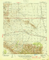
1944 Map of Fisher Hills
USGS Topo · Published 1944About this map
Southern Pacific Railroad tracks anchor the central corridor of this desert landscape, connecting isolated stops like Raso, Luzena, and Escala during the early 1940s. The terrain transitions from the Graham Mountains and Crook National Forest in the northwest down toward the Sulphur Spring Valley and the northern reaches of the Cabezas Mountains. Water remains the primary concern of the era, evidenced by the numerous named springs such as Sycamore Spr, Whisky Spr, and Dial Spr that supported cattle ranching. Large operations like the Ten Ranch, Monk Ranch, and Flying W Ranch are noted alongside infrastructure including U.S. 666. An inactive CCC Camp near the southern boundary points to a recent era of public works projects, while family-named landmarks like Monk Draw and Alrich Flat suggest the local history of the region's settlers.
Find a feature on this map
43 named features on this map. Tap any name to fly to it.
Don’t see what you’re looking for? This feature index may not catch every label — zoom into the map to look around manually.
Map Details
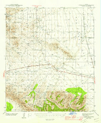
Editions of this 1944 Fisher Hills Map
3 editions found
Other maps of this area

1917 · San Simon
USGS Topo · 1:125,000

1922 · Willcox
USGS Topo · 1:125,000

1926 · Cochise Head
USGS Topo · 1:62,500

1928 · Bowie
USGS Topo · 1:62,500

1942 · Mt. Graham
USGS Topo · 1:62,500

1943 · Dos Cabezas
USGS Topo · 1:62,500

1943 · Willcox
USGS Topo · 1:62,500

1943 · Cochise
USGS Topo · 1:62,500

1945 · Mt. Graham
USGS Topo · 1:62,500

1949 · Bowie
USGS Topo · 1:62,500