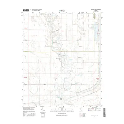
2015 Map of Fishhook Lake
USGS Topo · Published 2015About this map
The Tallahatchie River and the Little Tallahatchie River dominate this portion of the Mississippi Delta, winding through a complex network of oxbows and cut-offs. The landscape is defined by its fluvial history, where old river bends have transformed into named water bodies like Horseshoe Lake, Fishhook Lake, and Oakland Lake. This deltaic terrain is crisscrossed by drainage features such as Muddy Bayou and Buzzard Bayou, reflecting a lowland environment deeply tied to the movement of water.
Find a feature on this map
58 named features on this map. Tap any name to fly to it.
Don’t see what you’re looking for? This feature index may not catch every label — zoom into the map to look around manually.
Map Details
Editions of this 2015 Fishhook Lake Map
This is the sole edition of this map. No revisions or reprints were ever made.
Other maps of this area

1931 · Sumner
USGS Topo · 1:48,000

1932 · Philipp
USGS Topo · 1:48,000

1932 · Tutwiler
USGS Topo · 1:48,000

1935 · Crowder
USGS Topo · 1:62,500

1935 · Sumner
USGS Topo · 1:62,500

1935 · Tutwiler
USGS Topo · 1:62,500

1935 · Philipp
USGS Topo · 1:62,500

1939 · Sumner
USGS Topo · 1:62,500

1939 · Crowder
USGS Topo · 1:62,500

1939 · Philipp
USGS Topo · 1:62,500