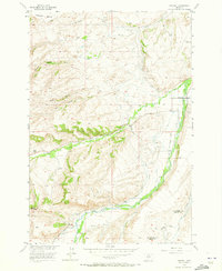
1956 Map of Fishtail
USGS Topo · Published 1973About this map
Fishtail serves as the central hub of this high-plains landscape, situated where the foothills meet a complex network of man-made irrigation. The terrain is defined by dramatic landforms such as Fladberg Bench and the prominent Nellies Twin Buttes, while the hydrography reveals a sophisticated agricultural infrastructure designed for the Missouri River Basin. A dense system of waterways including Yates Ditch, Hogan Ditch, and Phillips Ditch crisscrosses the drainages of West Rosebud Creek and Fishtail Creek. This 1950s-era survey documents the rural character of the Stillwater and Carbon county line, where local landmarks like the Twin Butte Sch and various canyons such as Arney Canyon and Box Canyon anchor the geographic identity of the community before later modernization.
Find a feature on this map
28 named features on this map. Tap any name to fly to it.
Don’t see what you’re looking for? This feature index may not catch every label — zoom into the map to look around manually.
Map Details
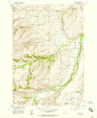
Editions of this 1956 Fishtail Map
2 editions found
Other maps of this area

1891 · Big Timber
USGS Topo · 1:125,000

1892 · Stillwater
USGS Topo · 1:125,000

1893 · Big Timber
USGS Topo · 1:125,000

1898 · Granite Mountain District
USGS Topo · 1:125,000

1932 · Red Lodge No 2
USGS Topo · 1:48,000

1932 · Nye No 1
USGS Topo · 1:48,000

1954 · Billings
USGS Topo · 1:250,000

1955 · Sandborn Creek
USGS Topo · 1:24,000

1955 · Absarokee
USGS Topo · 1:24,000
1955 · Cow Face Hill
USGS Topo · 1:24,000