
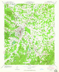
1935 Map of Fishtop
USGS Topo · Published 1935About this map
The western slopes of the Blue Ridge mountains define this 1935 landscape, where small rural communities like Dana and Edneyville are linked by a network of creeks and mountain gaps. Published as an advance sheet by the Tennessee Valley Authority and USGS, the map captures a moment of early 20th-century development in Henderson County. It highlights key communal landmarks such as The Blue House Ch, Edith Grove Ch, and the Dana Sch.
Find a feature on this map
21 named features on this map. Tap any name to fly to it.
Don’t see what you’re looking for? This feature index may not catch every label — zoom into the map to look around manually.
Map Details
Editions of this 1935 Fishtop Map
This is the sole edition of this map. No revisions or reprints were ever made.
Other maps of this area

1907 · Saluda
USGS Topo · 1:125,000

1935 · Batcave
USGS Topo · 1:24,000

1935 · Hendersonville
USGS Topo · 1:24,000

1935 · Zirconia
USGS Topo · 1:24,000

1936 · Fruitland
USGS Topo · 1:24,000

1942 · Fruitland
USGS Topo · 1:24,000

1946 · Zirconia
USGS Topo · 1:24,000

1946 · Bat Cave
USGS Topo · 1:24,000
1946 · Hendersonville
USGS Topo · 1:24,000

1946 · Cliffield Mtn
USGS Topo · 1:24,000