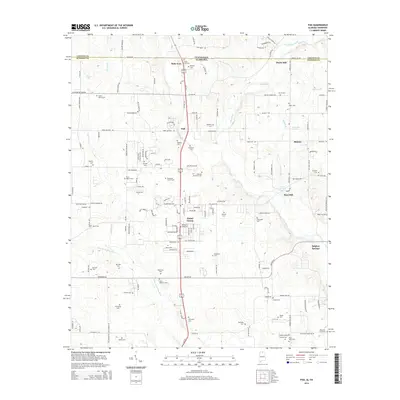
2014 Map of Fisk
USGS Topo · Published 2014About this map
The Tennessee Alabama border defines the northern edge of this landscape, where the settlements of State Line and Fisk sit along the primary north-south corridor. The terrain is a complex network of family-named cemeteries and small rural communities, including Skinem and Hazel Green. Water is central to the area's geography, with the Flint River and its tributary, the Brier Fork Flint River, winding through the central and southern portions of the sheet.
Find a feature on this map
166 named features on this map. Tap any name to fly to it.
Don’t see what you’re looking for? This feature index may not catch every label — zoom into the map to look around manually.
Map Details
Editions of this 2014 Fisk Map
This is the sole edition of this map. No revisions or reprints were ever made.
Other maps of this area

1888 · Scottsboro
USGS Topo · 1:125,000

1888 · Huntsville
USGS Topo · 1:125,000

1892 · Huntsville
USGS Topo · 1:125,000

1892 · Scottsboro
USGS Topo · 1:125,000

1936 · Jeff
USGS Topo · 1:24,000

1936 · Flintville
USGS Topo · 1:24,000

1936 · Taft
USGS Topo · 1:24,000

1936 · Meridianville
USGS Topo · 1:24,000

1936 · Fisk
USGS Topo · 1:24,000

1936 · Lincoln
USGS Topo · 1:24,000