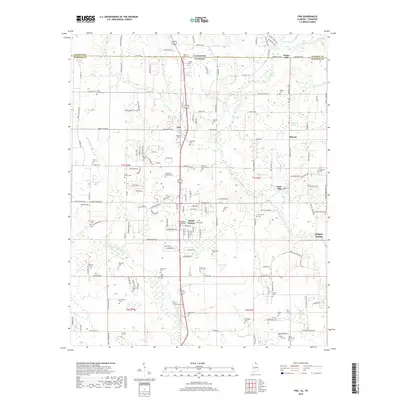
2018 Map of Fisk
USGS Topo · Published 2018About this map
The borderlands of Madison County, Alabama, and Lincoln County, Tennessee, are defined here by a dense network of family cemeteries and small rural settlements along the Flint River. This survey captures the agrarian character of Hazel Green and Fisk, where local history is preserved in names like the Welbourn-King Cem, James Moore Cem, and the Pruit-McGaa Cem. The landscape is etched by numerous watercourses, including the Brier Fork Flint River and Slate Rock Br, which historically supported local milling operations such as Bucks Mill and Keys Mill. The frequency of burial sites, from the Saint Rebecca Cem to the Edmund Townsend Cem, provides a significant record for genealogists tracing families established in these townships. While the small communities of Skinem and Bucks Mill persist, the area remains largely defined by its natural springs, such as Sulphur Springs and Tanner Spring.
Find a feature on this map
171 named features on this map. Tap any name to fly to it.
Don’t see what you’re looking for? This feature index may not catch every label — zoom into the map to look around manually.
Map Details
Editions of this 2018 Fisk Map
This is the sole edition of this map. No revisions or reprints were ever made.
Other maps of this area

1888 · Scottsboro
USGS Topo · 1:125,000

1888 · Huntsville
USGS Topo · 1:125,000

1892 · Huntsville
USGS Topo · 1:125,000

1892 · Scottsboro
USGS Topo · 1:125,000

1936 · Jeff
USGS Topo · 1:24,000

1936 · Flintville
USGS Topo · 1:24,000

1936 · Taft
USGS Topo · 1:24,000

1936 · Meridianville
USGS Topo · 1:24,000

1936 · Fisk
USGS Topo · 1:24,000

1936 · Lincoln
USGS Topo · 1:24,000