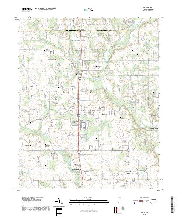
2024 Map of Fisk
USGS Topo · Published 2024About this map
The Flint River and its numerous tributaries, including West Fork Flint River and Brier Fork Flint River, dominate this section of the Alabama-Tennessee borderlands. This landscape is characterized by a dense network of family and community burial grounds, such as Saint Rebecca Cem, Conley Cem, and Battle Cem, which provide significant data for genealogical research in Madison County.
Find a feature on this map
182 named features on this map. Tap any name to fly to it.
Don’t see what you’re looking for? This feature index may not catch every label — zoom into the map to look around manually.
Map Details
Editions of this 2024 Fisk Map
This is the sole edition of this map. No revisions or reprints were ever made.
Other maps of this area

1888 · Scottsboro
USGS Topo · 1:125,000

1888 · Huntsville
USGS Topo · 1:125,000

1892 · Huntsville
USGS Topo · 1:125,000

1892 · Scottsboro
USGS Topo · 1:125,000

1936 · Jeff
USGS Topo · 1:24,000

1936 · Flintville
USGS Topo · 1:24,000

1936 · Taft
USGS Topo · 1:24,000

1936 · Meridianville
USGS Topo · 1:24,000

1936 · Fisk
USGS Topo · 1:24,000

1936 · Lincoln
USGS Topo · 1:24,000