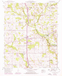
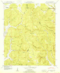
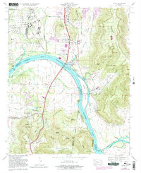
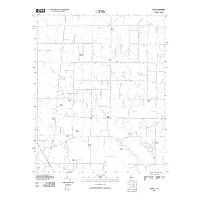
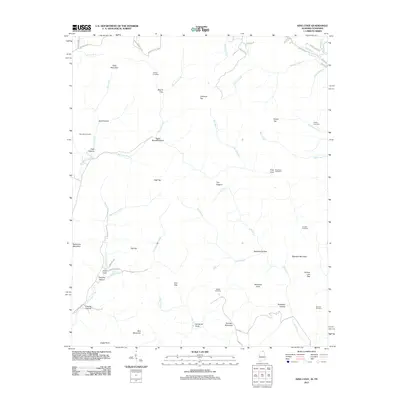
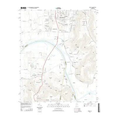
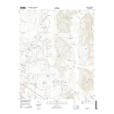
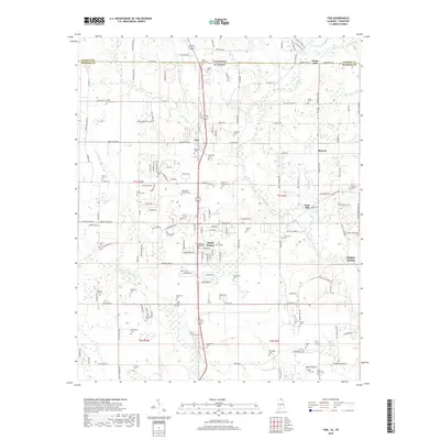
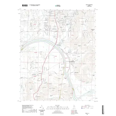
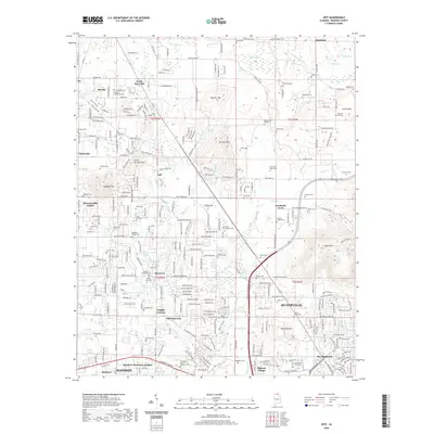
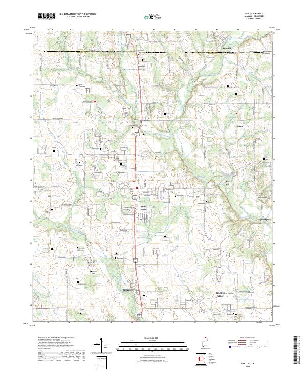
1948 Map of Fisk
USGS Topo · Published 1976About this map
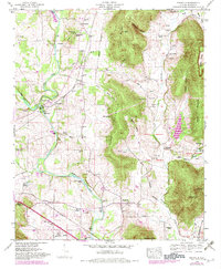
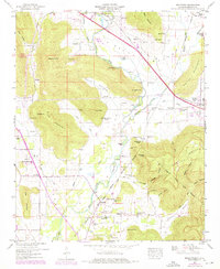
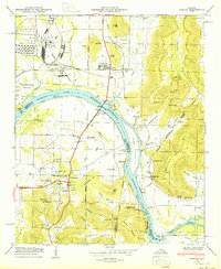
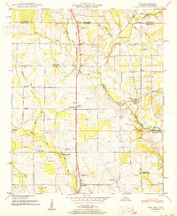
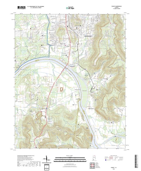
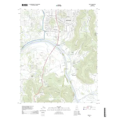
Agricultural life and small rural centers define this Madison County landscape just south of the Tennessee-Alabama state line. The Huntsville Meridian Road serves as a primary north-south spine, passing through the settlements of Fisk and Hazel Green. The terrain is shaped by the winding Flint River and its tributaries, including Copeland Creek and Walker Creek, which historically supported milling operations like Bucks Mill and Keys Mill.
Find a feature on this map
60 named features on this map. Tap any name to fly to it.
Don’t see what you’re looking for? This feature index may not catch every label — zoom into the map to look around manually.
Map Details
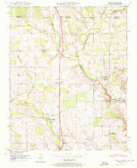
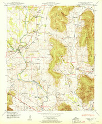
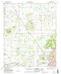
Editions of this 1948 Fisk Map
2 editions found
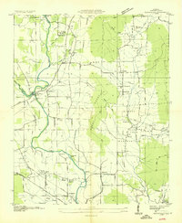
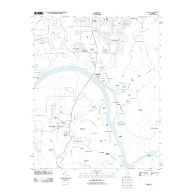
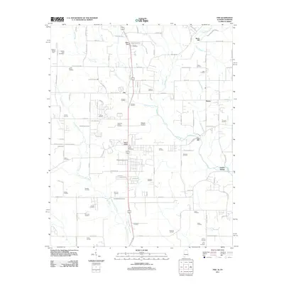
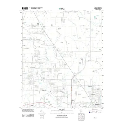
Historical Maps of Hazel Green Through Time
59 maps found

1936 Farley
Madison County, AL

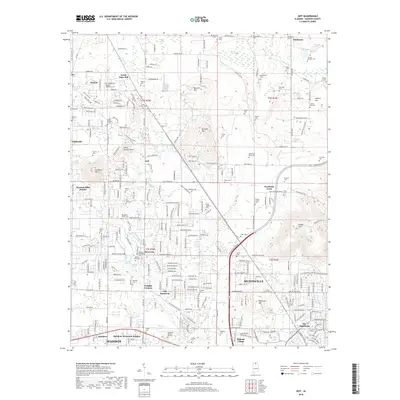
1936 Fisk
Madison County, AL

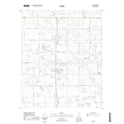
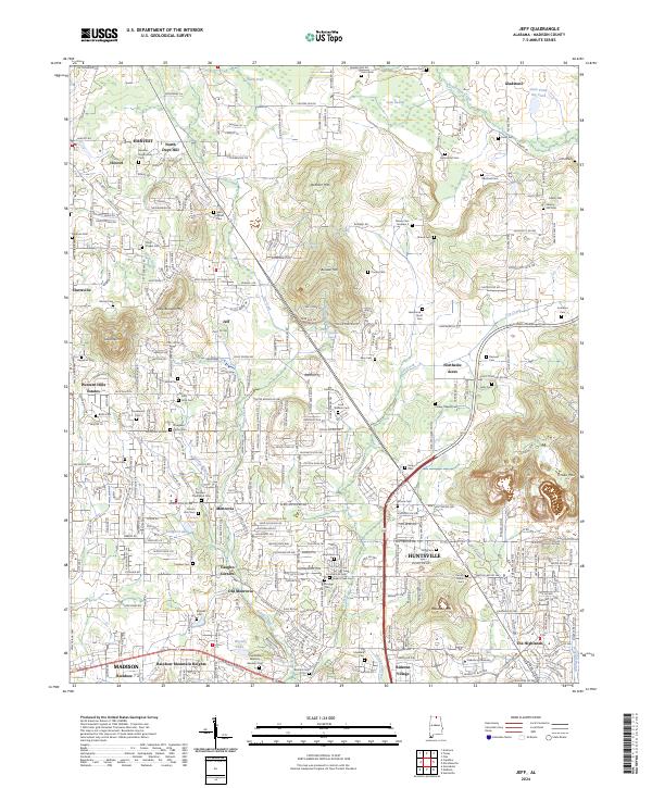
1936 Jeff
Madison County, AL

1936 King Cove
Madison County, AL
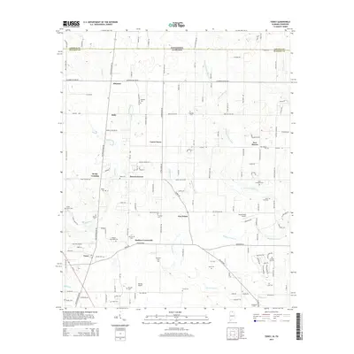
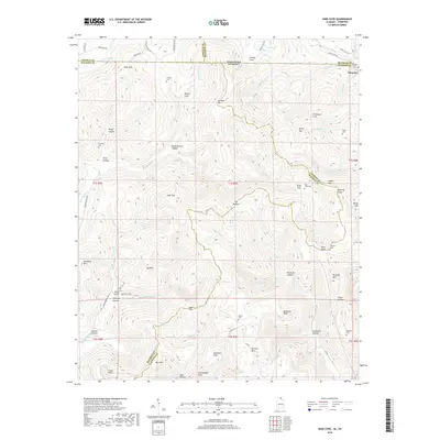
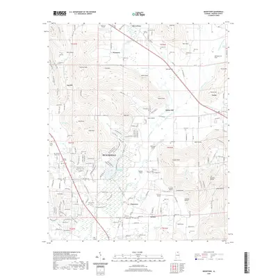
1936 Maysville
Madison County, AL

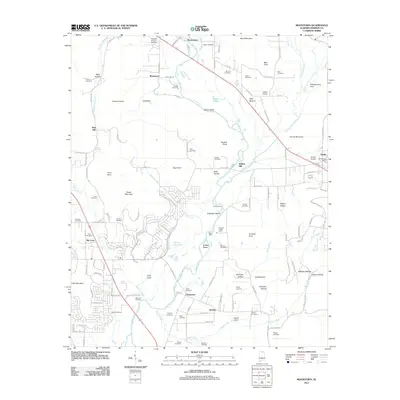
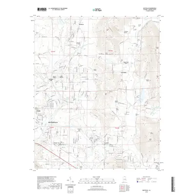
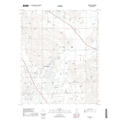
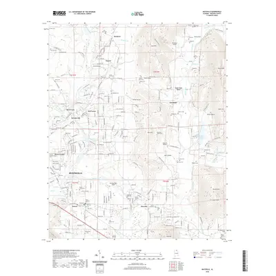
1936 Moontown
Madison County, AL

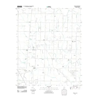
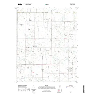
1936 Toney
Madison County, AL

1947 Farley
Madison County, AL
1948 Fisk
Madison County, AL
1948 King Cove
Madison County, AL
1948 Maysville
Madison County, AL
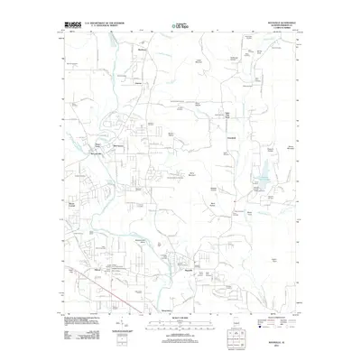
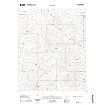
1948 Moontown
Madison County, AL
1950 Farley
Madison County, AL
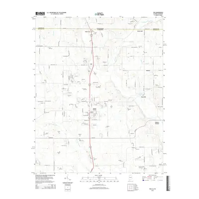
1951 Fisk
Madison County, AL
1951 King Cove
Madison County, AL
1951 Maysville
Madison County, AL
1958 Jeff
Madison County, AL
1958 Toney
Madison County, AL
1964 Farley
Madison County, AL
1967 Jeff
Madison County, AL
2010 Fisk
Madison County, AL
2010 King Cove
Madison County, AL
2010 Toney
Madison County, AL
2011 Farley
Madison County, AL
2011 Fisk
Madison County, AL
2011 Jeff
Madison County, AL
2011 King Cove
Madison County, AL
2011 Maysville
Madison County, AL
2011 Moontown
Madison County, AL
2011 Toney
Madison County, AL
2014 Farley
Madison County, AL
2014 Fisk
Madison County, AL
2014 Jeff
Madison County, AL
2014 King Cove
Madison County, AL
2014 Maysville
Madison County, AL
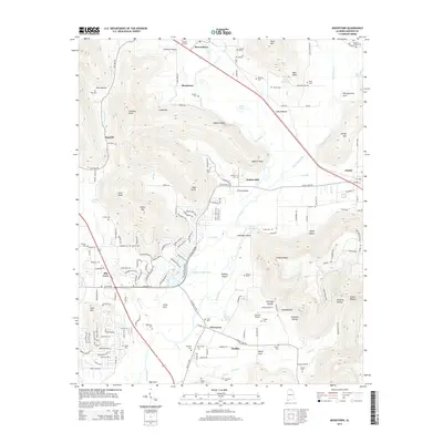
2014 Moontown
Madison County, AL
2014 Toney
Madison County, AL
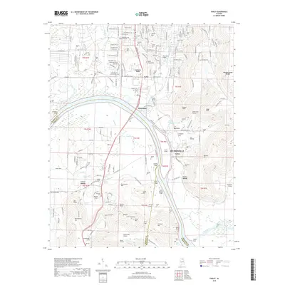
2018 Farley
Madison County, AL
2018 Fisk
Madison County, AL
2018 Jeff
Madison County, AL
2018 King Cove
Madison County, AL
2018 Maysville
Madison County, AL
2018 Moontown
Madison County, AL
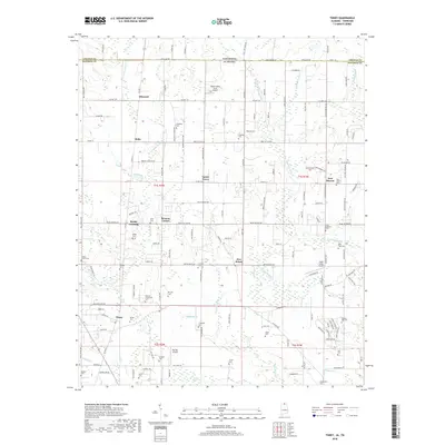
2018 Toney
Madison County, AL
2020 Farley
Madison County, AL
2020 Fisk
Madison County, AL
2020 Jeff
Madison County, AL
2020 King Cove
Madison County, AL
2020 Maysville
Madison County, AL
2020 Moontown
Madison County, AL
2020 Toney
Madison County, AL
2024 Farley
Madison County, AL
2024 Fisk
Madison County, AL
2024 Jeff
Madison County, AL
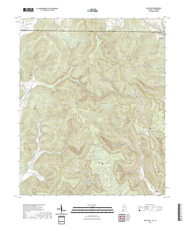
2024 King Cove
Madison County, AL
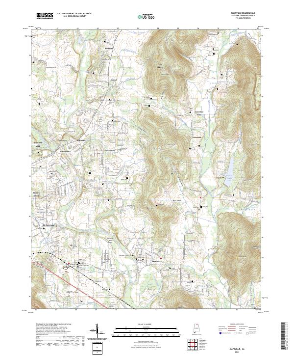
2024 Maysville
Madison County, AL
2024 Moontown
Madison County, AL
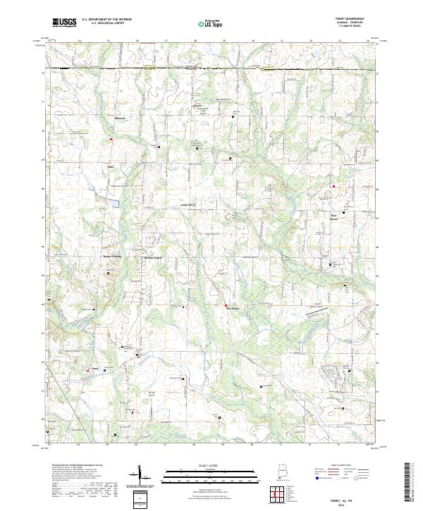
2024 Toney
Madison County, AL
2026 Farley
Madison County, AL