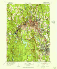
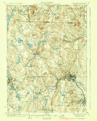
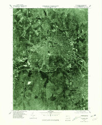
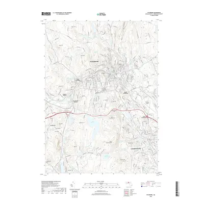
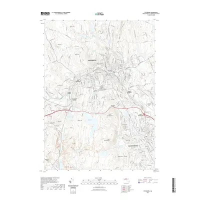
1954 Map of Fitchburg
USGS Topo · Published 1956About this map
Industrial and transport hubs define this mid-1950s survey of Fitchburg and Leominster, where the Boston and Maine RR and the New York New Haven and Hartford RR converge along the Nashua River valley. The map reveals a densely settled urban core surrounding Rollstone Hill, transitioning into a landscape of managed water resources like Notown Reservoir and Overlook Reservoir.
Find a feature on this map
67 named features on this map. Tap any name to fly to it.
Don’t see what you’re looking for? This feature index may not catch every label — zoom into the map to look around manually.
Map Details
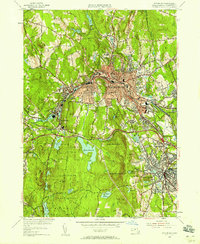
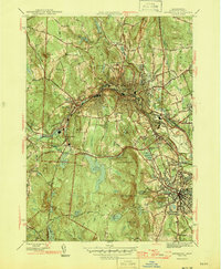
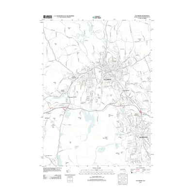
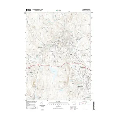
Editions of this 1954 Fitchburg Map
3 editions found
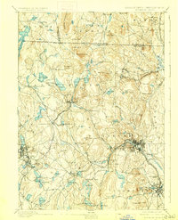
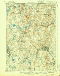
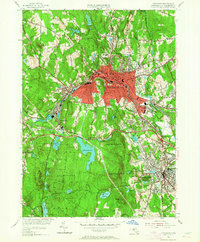
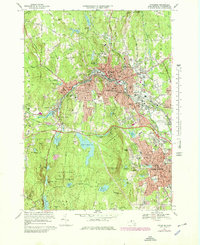
Historical Maps of Leominster Through Time
18 maps found

1887 Fitchburg
Worcester County, MA

1889 Fitchburg
Worcester County, MA
1893 Fitchburg
Worcester County, MA

1931 Fitchburg
Worcester County, MA
1935 Fitchburg
Worcester County, MA
1936 Fitchburg
Worcester County, MA

1943 Fitchburg
Worcester County, MA
1946 Fitchburg
Worcester County, MA

1953 Fitchburg
Worcester County, MA
1954 Fitchburg
Worcester County, MA
1969 Fitchburg
Worcester County, MA
1975 Fitchburg
Worcester County, MA
1988 Fitchburg
Worcester County, MA
2012 Fitchburg
Worcester County, MA
2015 Fitchburg
Worcester County, MA
2018 Fitchburg
Worcester County, MA
2021 Fitchburg
Worcester County, MA
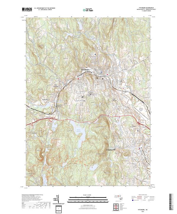
2024 Fitchburg
Worcester County, MA