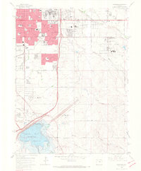
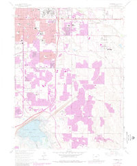
1965 Map of Fitzsimons
USGS Topo · Published 1966About this map
Aurora is captured here during a period of significant mid-century expansion, dominated by large federal institutions and military installations. The sprawling Fitzsimons General Hospital and Lowry Air Force Base anchor the northern and western margins, while the Buckley Air National Guard Base occupies a massive footprint to the east. These government centers drove the rapid subdivision of former ranch lands, evident in the dense network of schools like Hinkley High Sch and Virginia Court Sch appearing alongside suburban amenities such as the Drive-in Theater.
Find a feature on this map
79 named features on this map. Tap any name to fly to it.
Don’t see what you’re looking for? This feature index may not catch every label — zoom into the map to look around manually.
Map Details
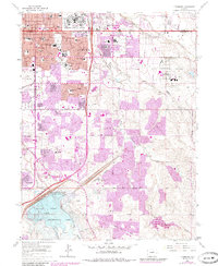
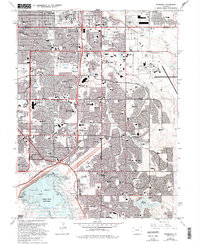
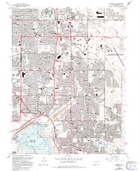
Editions of this 1965 Fitzsimons Map
8 editions found
Other maps of this area

1890 · East Denver
USGS Topo · 1:125,000

1935 · East Denver Nos. 3 and 4
USGS Topo · 1:48,000

1938 · Derby
USGS Topo · 1:24,000

1938 · Long Branch
USGS Topo · 1:24,000

1939 · Coal Creek
USGS Topo · 1:24,000

1940 · Englewood
USGS Topo · 1:31,680

1940 · Piney Creek
USGS Topo · 1:24,000

1940 · Derby
USGS Topo · 1:31,680

1941 · Long Branch
USGS Topo · 1:31,680

1941 · Fitzsimons
USGS Topo · 1:31,680