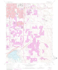
1965 Map of Fitzsimons
USGS Topo · Published 1980About this map
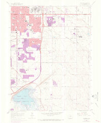
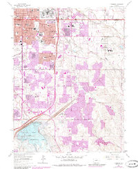
Aurora expands across the high plains of Arapahoe and Adams counties in this 1965 survey, updated with 1978 photogrammetric revisions. The landscape is defined by its massive military and institutional footprints, most notably the Fitzsimons Medical Center and the Air National Guard Base at Buckley. These sprawling complexes, alongside Lowry Air Force Base, anchor the mid-century suburban development that is rapidly filling in the grid between Colfax Ave and the Military Reservation Boundary.
Find a feature on this map
62 named features on this map. Tap any name to fly to it.
Don’t see what you’re looking for? This feature index may not catch every label — zoom into the map to look around manually.
Map Details
Editions of this 1965 Fitzsimons Map
8 editions found
Other maps of this area

1890 · East Denver
USGS Topo · 1:125,000

1935 · East Denver Nos. 3 and 4
USGS Topo · 1:48,000

1938 · Derby
USGS Topo · 1:24,000

1938 · Long Branch
USGS Topo · 1:24,000

1939 · Coal Creek
USGS Topo · 1:24,000

1940 · Englewood
USGS Topo · 1:31,680

1940 · Piney Creek
USGS Topo · 1:24,000

1940 · Derby
USGS Topo · 1:31,680

1941 · Long Branch
USGS Topo · 1:31,680

1941 · Fitzsimons
USGS Topo · 1:31,680