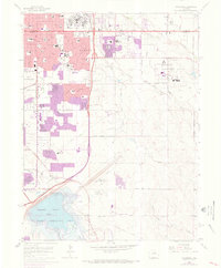
1965 Map of Fitzsimons
USGS Topo · Published 1973About this map
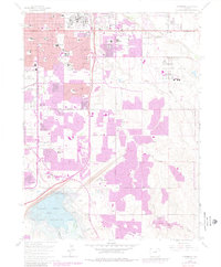
Fitzsimons General Hospital and Buckley Air National Guard Base dominate the landscape of eastern Aurora during a period of rapid suburban expansion. This 1965 survey, updated with 1971 revisions, illustrates the conversion of open land into dense residential neighborhoods, particularly around Altura and south of Colfax Ave. The sprawling military and medical installations are bordered by a dense network of new educational facilities, including Hinkley High Sch and North Jr High Sch, reflecting the postwar baby boom's impact on local infrastructure.
Find a feature on this map
55 named features on this map. Tap any name to fly to it.
Don’t see what you’re looking for? This feature index may not catch every label — zoom into the map to look around manually.
Map Details
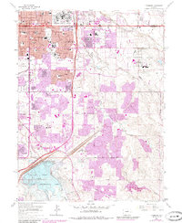
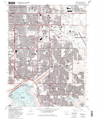
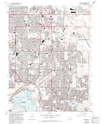
Editions of this 1965 Fitzsimons Map
8 editions found
Other maps of this area

1890 · East Denver
USGS Topo · 1:125,000

1935 · East Denver Nos. 3 and 4
USGS Topo · 1:48,000

1938 · Derby
USGS Topo · 1:24,000

1938 · Long Branch
USGS Topo · 1:24,000

1939 · Coal Creek
USGS Topo · 1:24,000

1940 · Englewood
USGS Topo · 1:31,680

1940 · Piney Creek
USGS Topo · 1:24,000

1940 · Derby
USGS Topo · 1:31,680

1941 · Long Branch
USGS Topo · 1:31,680

1941 · Fitzsimons
USGS Topo · 1:31,680