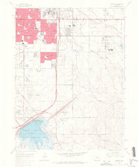
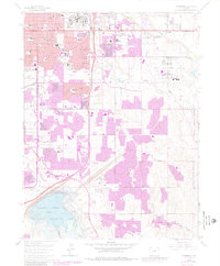
1965 Map of Fitzsimons
USGS Topo · Published 1966About this map
Aurora expands eastward in the mid-1960s, defined by a significant military presence and the burgeoning suburbs of the Denver metropolitan area. The massive complex of Fitzsimons General Hospital dominates the northern landscape, while Lowry Air Force Base and Buckley Air National Guard Base anchor the surrounding territory. This era shows the early development of planned communities like Virginia Court and the proliferation of local educational institutions such as Hinkley High Sch and St Therese Sch.
Find a feature on this map
54 named features on this map. Tap any name to fly to it.
Don’t see what you’re looking for? This feature index may not catch every label — zoom into the map to look around manually.
Map Details
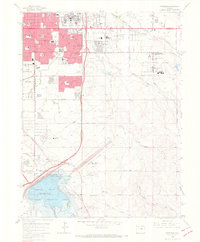
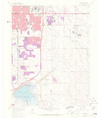
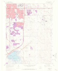
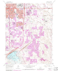
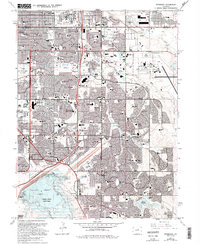
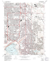
Editions of this 1965 Fitzsimons Map
8 editions found
Other maps of this area
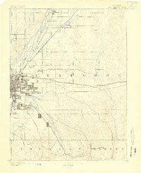
1890 · East Denver
USGS Topo · 1:125,000
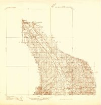
1935 · East Denver Nos. 3 and 4
USGS Topo · 1:48,000
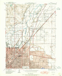
1938 · Derby
USGS Topo · 1:24,000
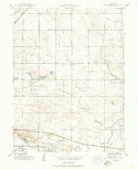
1938 · Long Branch
USGS Topo · 1:24,000
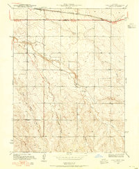
1939 · Coal Creek
USGS Topo · 1:24,000
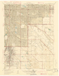
1940 · Englewood
USGS Topo · 1:31,680
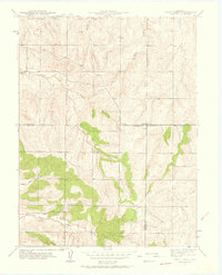
1940 · Piney Creek
USGS Topo · 1:24,000
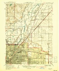
1940 · Derby
USGS Topo · 1:31,680
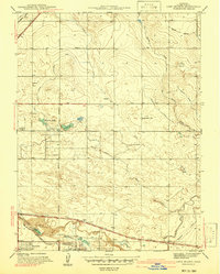
1941 · Long Branch
USGS Topo · 1:31,680
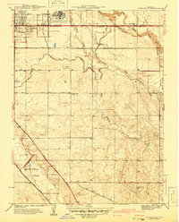
1941 · Fitzsimons
USGS Topo · 1:31,680