2024 Map of Fivay Junction
USGS Topo · Published 2024About this map
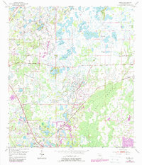
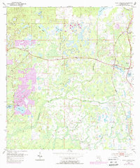
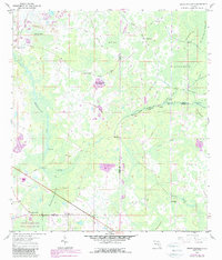
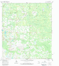
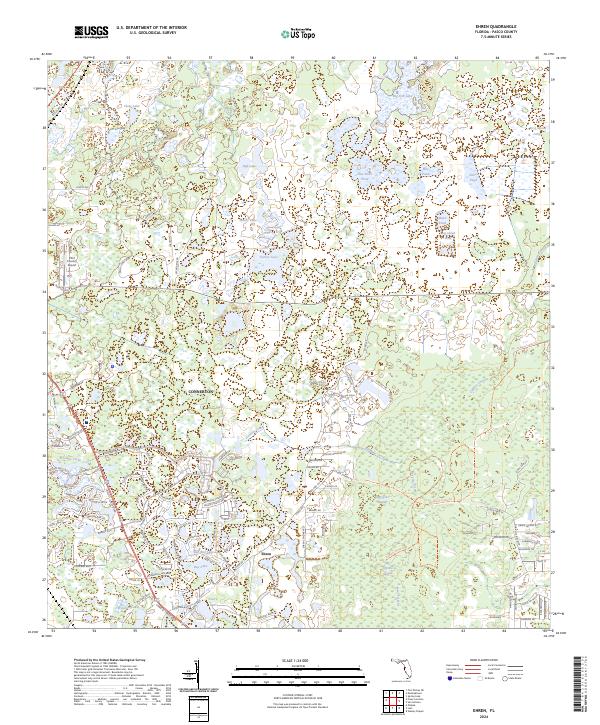
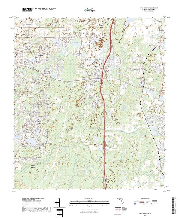
Moon Lake and the developing residential corridors north of New Port Richey define this modern landscape in Pasco County. The map documents a complex hydrology where the Pithlachascotee River and Anclote River headwaters interact with numerous smaller basins like Cabbage Slough and Bee Tree Pond. Significant suburban growth is visible through the established neighborhoods of Meadow Oaks and Quail Ridge, which contrast with the protected natural expanses of the Starkey Wilderness Preserve in the south. Genealogists and local historians will find the Fivay Greenfield Cem near the eastern edge, a remnant of the area's earlier settlement history. The terrain is characterized by its transition from these wetlands and lakes, such as Crews Lake and Green Lake, into the structured residential street grids that have transformed this part of the Florida peninsula.
Find a feature on this map
66 named features on this map. Tap any name to fly to it.
Don’t see what you’re looking for? This feature index may not catch every label — zoom into the map to look around manually.
Map Details
Editions of this 2024 Fivay Junction Map
This is the sole edition of this map. No revisions or reprints were ever made.
Historical Maps of Greenfield Through Time
9 maps found