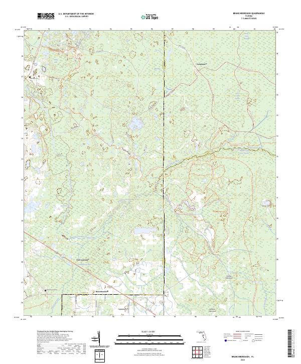
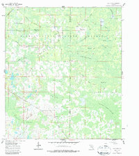
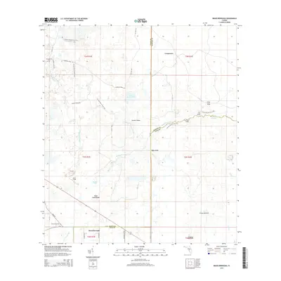
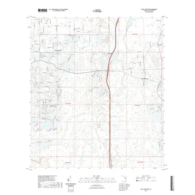
2024 Map of Branchborough
USGS Topo · Published 2024About this map
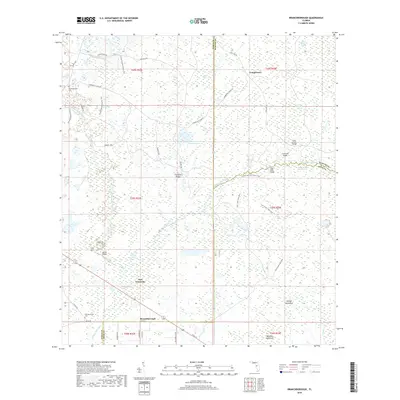
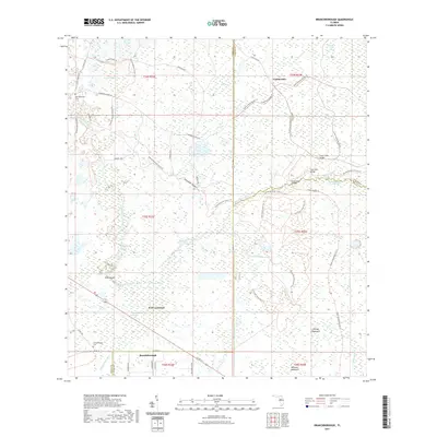
Withlacoochee River and the Hillsborough River dominate this low-lying landscape, winding through extensive wetlands such as the Green Swamp and Devils Creek Swamp. The geography is defined by its water-saturated environment, where scattered hammocks like Orange Hammock and Williams Hammock provide higher ground amidst the basin. This survey illustrates a sparsely populated interior where small settlements including Branchborough and Port Lonesome are connected by rural corridors like Old Dade City Rd and Co RD 35a.
Find a feature on this map
52 named features on this map. Tap any name to fly to it.
Don’t see what you’re looking for? This feature index may not catch every label — zoom into the map to look around manually.
Map Details
Editions of this 2024 Branchborough Map
This is the sole edition of this map. No revisions or reprints were ever made.
Historical Maps of Cumpressco Through Time
30 maps found
1954 Ehren
Pasco County, FL
1954 Fivay Junction
Pasco County, FL
1960 Branchborough
Pasco County, FL
1960 Clay Sink
Pasco County, FL
2012 Branchborough
Pasco County, FL
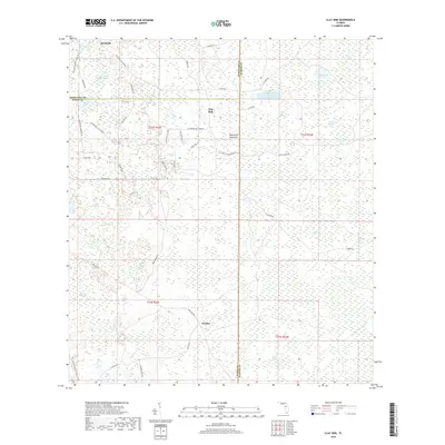
2012 Clay Sink
Pasco County, FL

2012 Ehren
Pasco County, FL
2012 Fivay Junction
Pasco County, FL
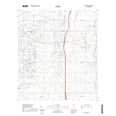
2012 Port Richey OE W
Pasco County, FL
2015 Branchborough
Pasco County, FL
2015 Clay Sink
Pasco County, FL
2015 Ehren
Pasco County, FL

2015 Fivay Junction
Pasco County, FL
2015 Port Richey OE W
Pasco County, FL
2018 Branchborough
Pasco County, FL
2018 Clay Sink
Pasco County, FL

2018 Ehren
Pasco County, FL
2018 Fivay Junction
Pasco County, FL
2018 Port Richey OE W
Pasco County, FL
2021 Branchborough
Pasco County, FL
2021 Clay Sink
Pasco County, FL
2021 Ehren
Pasco County, FL
2021 Fivay Junction
Pasco County, FL
2021 Port Richey OE W
Pasco County, FL
2024 Branchborough
Pasco County, FL
2024 Clay Sink
Pasco County, FL
2024 Ehren
Pasco County, FL
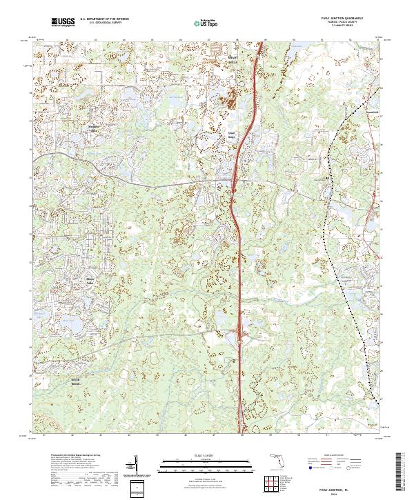
2024 Fivay Junction
Pasco County, FL
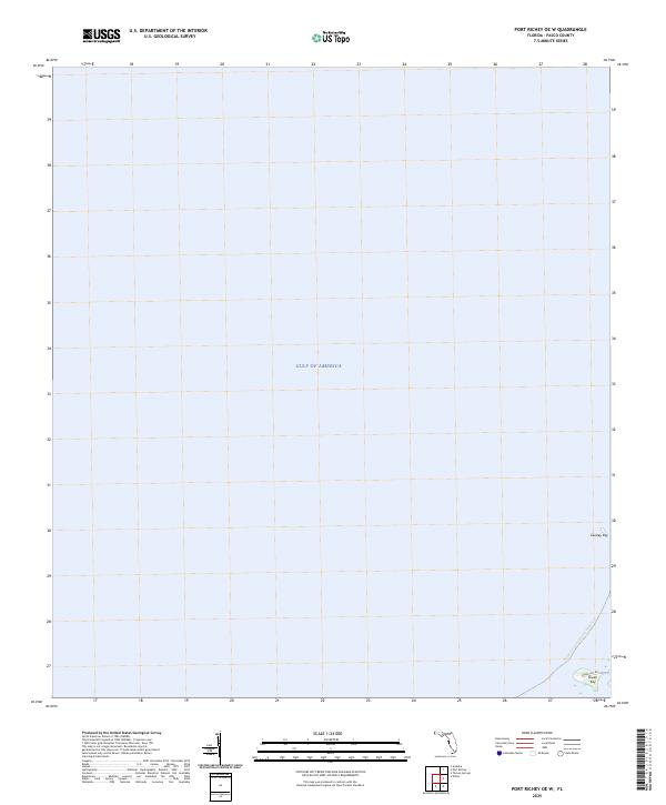
2024 Port Richey OE W
Pasco County, FL
2025 Port Richey OE W
Pasco County, FL