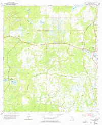
1954 Map of Fivay Junction
USGS Topo · Published 1977About this map
The Pithlachascotee River and Anclote River headwaters dominate this mid-century landscape in Pasco County, where a network of wetlands and small lakes defines the terrain. The settlement of Fivay Junction serves as a focal point along the Seaboard Air Line railroad, reflecting the importance of rail transport to this inland Florida region. Small community landmarks such as Fivay Cem and Bethel Ch provide essential points of reference for genealogists and local historians tracking family roots in the areas around Greenfield and Gowers Corner. The map illustrates a complex hydrologic system, from the Cabbage Slough and Bee Tree Pond to larger bodies of water like Moon Lake and Crews Lake, showing how water dictated the placement of early roads and homesites before the region's later suburban development.
Find a feature on this map
19 named features on this map. Tap any name to fly to it.
Don’t see what you’re looking for? This feature index may not catch every label — zoom into the map to look around manually.
Map Details
Editions of this 1954 Fivay Junction Map
4 editions found

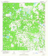
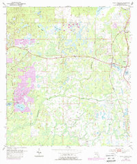
Other maps of this area

1943 · Odessa
USGS Topo · 1:24,000

1943 · Elfers
USGS Topo · 1:24,000

1943 · Lutz
USGS Topo · 1:24,000

1944 · Elfers
USGS Topo · 1:31,680

1944 · Lutz
USGS Topo · 1:31,680

1944 · Odessa
USGS Topo · 1:31,680

1948 · Elfers
USGS Topo · 1:25,000

1949 · Odessa
USGS Topo · 1:25,000

1954 · Ehren
USGS Topo · 1:24,000

1954 · Port Richey
USGS Topo · 1:24,000