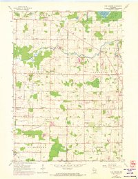
1959 Map of Five Corners
USGS Topo · Published 1973About this map
The Cedarburg Bog Wildlife Refuge and Mud Lake dominate the northeastern corner of this landscape, marking a transition from the preserved natural wetlands of Saukville to the productive agricultural and quarrying lands of Washington and Ozaukee Counties. This 1959 survey, with revisions updated through the early 1970s, captures the rural character of southeastern Wisconsin as local crossroad settlements like Kirchhayn and Decker Corner served as vital community hubs.
Find a feature on this map
33 named features on this map. Tap any name to fly to it.
Don’t see what you’re looking for? This feature index may not catch every label — zoom into the map to look around manually.
Map Details
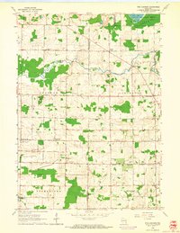
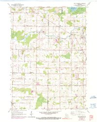
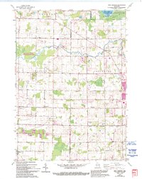
Editions of this 1959 Five Corners Map
4 editions found
Other maps of this area

1892 · Milwaukee
USGS Topo · 1:62,500

1892 · Waukesha
USGS Topo · 1:62,500

1892 · Port Washington
USGS Topo · 1:62,500

1901 · Milwaukee
USGS Topo · 1:62,500

1901 · Waukesha
USGS Topo · 1:62,500

1904 · West Bend
USGS Topo · 1:62,500

1904 · Port Washington
USGS Topo · 1:62,500

1906 · Waukesha
USGS Topo · 1:62,500

1906 · Milwaukee
USGS Topo · 1:62,500

1954 · Milwaukee
USGS Topo · 1:250,000