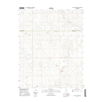
2017 Map of Five Lakes Canyon NE
USGS Topo · Published 2017About this map
Badland Hills and the winding drainages of the high desert characterize this landscape along the border of Rio Arriba and Sandoval counties. The terrain is defined by deep incisions like Five Lakes Canyon and Medio Canyon, which reveal the complex geology of the San Juan Basin. Unlike more developed regions, this area is structured by a network of Bureau of Indian Affairs routes, including Indian Svc Rte 20 and Indian Svc Rte 38, which connect remote sections of the high plateau.
Find a feature on this map
16 named features on this map. Tap any name to fly to it.
Don’t see what you’re looking for? This feature index may not catch every label — zoom into the map to look around manually.
Map Details
Editions of this 2017 Five Lakes Canyon NE Map
This is the sole edition of this map. No revisions or reprints were ever made.
Other maps of this area

1889 · Largo
USGS Topo · 1:250,000

1895 · Largo
USGS Topo · 1:250,000

1909 · Gallina
USGS Topo · 1:125,000

1940 · Cuba
USGS Topo · 1:62,500

1943 · Cuba
USGS Topo · 1:62,500

1954 · Aztec
USGS Topo · 1:250,000

1955 · Llaves
USGS Topo · 1:62,500

1958 · Aztec
USGS Topo · 1:250,000

1962 · Aztec
USGS Topo · 1:250,000

1963 · Lindrith
USGS Topo · 1:24,000