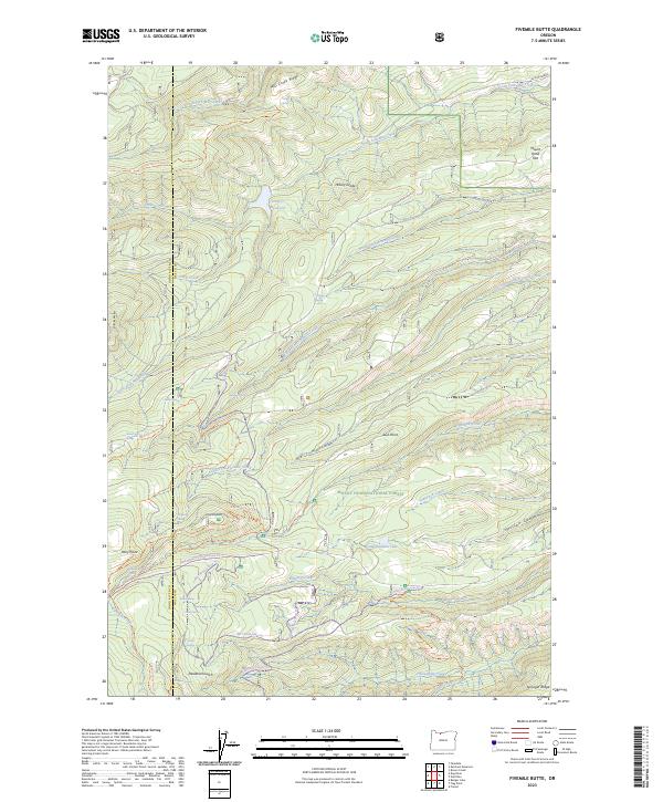
2023 Map of Fivemile Butte
USGS Topo · Published 2023About this map
Mount Hood National Forest dominates this section of the Oregon Cascades, where a complex network of high-elevation water sources and forest roads defines the landscape. The geography is marked by significant hydrological features including Crow Cr Reservoir and the protected waters of the Fifteenmile Creek Wild and Scenic River. Topographical landmarks such as Mill Creek Ridge and Fivemile Butte rise above deep drainage systems like Deadman Gulch and Hessian Canyon. The presence of numerous named water sources, such as Puma Spring, Birdseye Spring, and Camp Baldwin Lake, indicates a terrain where water management and conservation are central to the land use. The map also traces various recreational and utility routes, from the Knebal Springs Trl to the 4400-Dufur/Mill Road Snow Trl, reflecting the region's role as a managed forest environment.
Find a feature on this map
57 named features on this map. Tap any name to fly to it.
Don’t see what you’re looking for? This feature index may not catch every label — zoom into the map to look around manually.
Map Details
Editions of this 2023 Fivemile Butte Map
This is the sole edition of this map. No revisions or reprints were ever made.
Other maps of this area

1924 · Mount Hood
USGS Topo · 1:125,000

1926 · Hood River
USGS Topo · 1:125,000

1927 · Mount Hood
USGS Topo · 1:125,000

1929 · Hood River
USGS Topo · 1:125,000

1930 · Dufur
USGS Topo · 1:125,000

1934 · Dufur
USGS Topo · 1:125,000

1934 · The Dalles
USGS Topo · 1:125,000

1953 · The Dalles
USGS Topo · 1:250,000

1956 · The Dalles
USGS Topo · 1:250,000

1957 · The Dalles
USGS Topo · 1:250,000