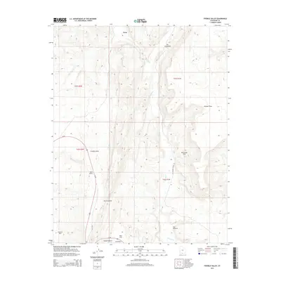
2014 Map of Fivemile Valley
USGS Topo · Published 2014About this map
Paria and the surrounding southern Utah desert are defined by the sharp geological uplift of The Cockscomb, a prominent hogback ridge that divides the landscape. This 2014 survey captures the intricate drainage patterns of the Paria River and Cottonwood Cr as they cut through the colorful sandstone formations of Fivemile Valley. The area is marked by unique natural landmarks like The Rimrocks and Brigham Plains, reflecting the complex erosion of the Grand Staircase region. Modern infrastructure is represented by the path of Us-89 and the Cottonwood Canyon Rd, which follow established natural corridors. Local history and ranching roots are signaled by features such as Five Mile Spring and Rock House Cove, while the proximity to Catstair Canyon highlights the area's significance for travelers and geologists alike.
Find a feature on this map
21 named features on this map. Tap any name to fly to it.
Don’t see what you’re looking for? This feature index may not catch every label — zoom into the map to look around manually.
Map Details
Editions of this 2014 Fivemile Valley Map
This is the sole edition of this map. No revisions or reprints were ever made.
Other maps of this area

1886 · Kanab
USGS Topo · 1:250,000

1886 · Escalante
USGS Topo · 1:250,000

1953 · Cedar City
USGS Topo · 1:250,000

1954 · Buckskin Gulch NE
USGS Topo · 1:24,000

1954 · Buckskin Gulch SE
USGS Topo · 1:24,000

1954 · Paria NW
USGS Topo · 1:24,000
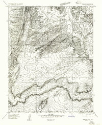
1954 · Paria SW
USGS Topo · 1:24,000

1954 · Buckskin Gulch
USGS Topo · 1:62,500

1954 · Paria
USGS Topo · 1:62,500

1955 · The Cockscob SW
USGS Topo · 1:24,000