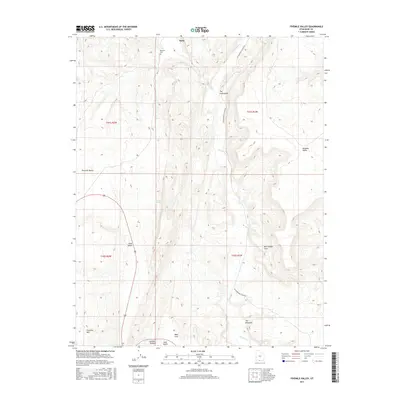
2017 Map of Fivemile Valley
USGS Topo · Published 2017About this map
Paria serves as a central reference point in this high-desert landscape of Kane County, where the Paria River and Cottonwood Cr carve through the geological formations of the Grand Staircase-Escalante region. The mapping detail highlights the isolation of the Pahreah Cem, a significant site for local history and genealogy located near the historic riverbank. Distinctive landforms such as The Cockscomb and The Rimrocks define the vertical character of the terrain, while Cottonwood Canyon Rd provides the primary passage through the valley. The presence of Five Mile Spring and the drainage patterns of Catstair Canyon indicate the critical role of water sources in this arid environment, shaping both the natural geography and the history of movement through Fivemile Valley.
Find a feature on this map
19 named features on this map. Tap any name to fly to it.
Don’t see what you’re looking for? This feature index may not catch every label — zoom into the map to look around manually.
Map Details
Editions of this 2017 Fivemile Valley Map
This is the sole edition of this map. No revisions or reprints were ever made.
Other maps of this area

1886 · Kanab
USGS Topo · 1:250,000

1886 · Escalante
USGS Topo · 1:250,000

1953 · Cedar City
USGS Topo · 1:250,000

1954 · Buckskin Gulch NE
USGS Topo · 1:24,000

1954 · Buckskin Gulch SE
USGS Topo · 1:24,000

1954 · Paria NW
USGS Topo · 1:24,000
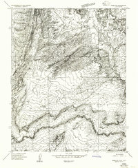
1954 · Paria SW
USGS Topo · 1:24,000

1954 · Buckskin Gulch
USGS Topo · 1:62,500

1954 · Paria
USGS Topo · 1:62,500

1955 · The Cockscob SW
USGS Topo · 1:24,000