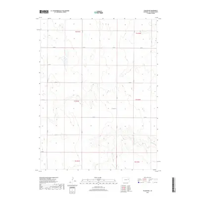
2019 Map of Flagler NE
USGS Topo · Published 2019About this map
Buffalo Creek and Hell Cr define the rolling drainage patterns of this high plains landscape in eastern Colorado. This corner of Kit Carson County is characterized by a sparse, grid-like network of county roads, including Co RD BB and Co RD HH, which delineate the expansive township and range sections. The terrain is marked by numerous intermittent ponds and depressions, typical of the shortgrass prairie ecosystem, where water sources like Heller and Buffalo Cr were essential for the cattle ranching operations that historically anchored the region. The absence of concentrated settlements highlights the enduring agricultural character of the area, where land use is dictated by the natural flow of the local creek beds and the rigid surveying lines of the Public Land Survey System.
Find a feature on this map
22 named features on this map. Tap any name to fly to it.
Don’t see what you’re looking for? This feature index may not catch every label — zoom into the map to look around manually.
Map Details
Editions of this 2019 Flagler NE Map
This is the sole edition of this map. No revisions or reprints were ever made.
Other maps of this area

1954 · Limon
USGS Topo · 1:250,000

1957 · Limon
USGS Topo · 1:250,000

1958 · Limon
USGS Topo · 1:250,000

1977 · Thurman
USGS Topo · 1:24,000

1977 · Anton SE
USGS Topo · 1:24,000

1977 · Cope SW
USGS Topo · 1:24,000

1979 · Flagler SW
USGS Topo · 1:24,000

1979 · Flagler NW
USGS Topo · 1:24,000

1979 · Flagler
USGS Topo · 1:24,000
1979 · Flagler NE
USGS Topo · 1:24,000