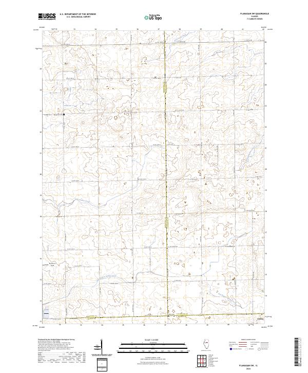
2024 Map of Flanagan SW
USGS Topo · Published 2024About this map
Gridley anchors the southeastern corner of this Central Illinois landscape, where the prairie is defined by a dense grid of township and county roads. The terrain is marked by the meeting of three counties—Woodford, Livingston, and McLean—creating a complex border region for local historians and land researchers to navigate. Waterways such as East Branch Panther Creek and Little Panther Creek carve subtle drainage patterns through the agricultural blocks, while the Baughman Cem provides a specific point of reference for genealogists tracking family roots in the northern portion of the quadrangle. For those interested in aviation history or local landmarks, Barnstorm Field sits near the western edge. The map reflects a meticulously planned rural infrastructure, dominated by labeled county roads like Co HWY 20 and Co HWY 16 that link the scattered farmsteads of the region.
Find a feature on this map
39 named features on this map. Tap any name to fly to it.
Don’t see what you’re looking for? This feature index may not catch every label — zoom into the map to look around manually.
Map Details
Editions of this 2024 Flanagan SW Map
This is the sole edition of this map. No revisions or reprints were ever made.
Other maps of this area

1926 · Normal
USGS Topo · 1:62,500

1927 · Danvers
USGS Topo · 1:62,500

1930 · Danvers
USGS Topo · 1:62,500

1930 · Normal
USGS Topo · 1:62,500

1955 · Minonk
USGS Topo · 1:62,500

1958 · Flanagan
USGS Topo · 1:62,500

1958 · Peoria
USGS Topo · 1:250,000

1961 · Peoria
USGS Topo · 1:250,000

1963 · Peoria
USGS Topo · 1:250,000
1970 · El Paso
USGS Topo · 1:24,000