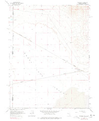
1964 Map of Flanigan
USGS Topo · Published 1978About this map
The settlement of Flanigan sits at a critical junction of the High Desert rail network in the early 1960s, where the Southern Pacific and Western Pacific rail lines converge. Located along the eastern edge of the Honey Lake basin near the California-Nevada border, this arid landscape is defined by its infrastructure and scattered water sources. The presence of the Bonham Sch near the tracks indicates the community center that once supported the families of railroad workers and local ranchers. Isolated water points like High Rock Well and Flanigan Well are vital markers in this dry terrain, illustrating the sparse but strategic settlement pattern required to maintain transcontinental transport routes through the Great Basin.
Find a feature on this map
11 named features on this map. Tap any name to fly to it.
Don’t see what you’re looking for? This feature index may not catch every label — zoom into the map to look around manually.
Map Details
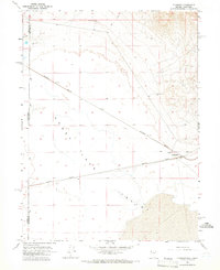
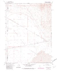
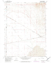
Editions of this 1964 Flanigan Map
4 editions found
Other maps of this area

1886 · Honey Lake
USGS Topo · 1:250,000

1886 · Granite Range
USGS Topo · 1:250,000

1891 · Honey Lake
USGS Topo · 1:250,000

1893 · Honey Lake
USGS Topo · 1:250,000

1894 · Granite Range
USGS Topo · 1:250,000

1954 · Wendel
USGS Topo · 1:62,500

1954 · Doyle
USGS Topo · 1:62,500

1955 · Westwood
USGS Topo · 1:250,000

1955 · Lovelock
USGS Topo · 1:250,000

1958 · Westwood
USGS Topo · 1:250,000