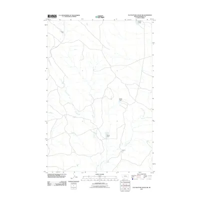
2011 Map of Flat Bottom Coulee SW
USGS Topo · Published 2011About this map
Aldinger Ranch sits at the northern edge of this high plains landscape, where a network of seasonal drainages and local water management systems define the rural character of Rosebud County. The terrain is marked by the winding courses of Longfork Creek and the East Fork Longfork Creek, which form the primary hydrological arteries for the region. A series of numbered and named water control structures, including the Vananda Dam, Zempel Number 3 Dam, and Wheller Number 1 Dam, illustrate the critical importance of water conservation for ranching and agriculture in this semi-arid part of Montana. These features reflect a legacy of land stewardship and private water rights development in an area where reliable water sources are essential for the survival of remote ranching operations like the one at the northern border.
Find a feature on this map
7 named features on this map. Tap any name to fly to it.
Don’t see what you’re looking for? This feature index may not catch every label — zoom into the map to look around manually.
Map Details
Editions of this 2011 Flat Bottom Coulee SW Map
This is the sole edition of this map. No revisions or reprints were ever made.
Other maps of this area

1954 · Forsyth
USGS Topo · 1:250,000

1957 · Forsyth
USGS Topo · 1:250,000

1958 · Forsyth
USGS Topo · 1:250,000

1960 · Vananda
USGS Topo · 1:24,000

1960 · Brown Coulee
USGS Topo · 1:24,000

1960 · Zempel Lake
USGS Topo · 1:24,000

1968 · Donleys Reservoir
USGS Topo · 1:24,000

1968 · Finch NE
USGS Topo · 1:24,000

1969 · Flat Bottom Coulee SW
USGS Topo · 1:24,000

1969 · Flat Bottom Coulee NE
USGS Topo · 1:24,000