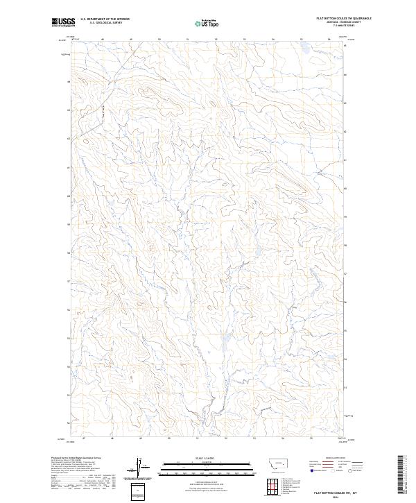
2024 Map of Flat Bottom Coulee SW
USGS Topo · Published 2024About this map
Longfork Creek defines the drainage patterns of this Rosebud County landscape, joined from the southeast by the winding East Fork Longfork Creek. This modern survey reveals a highly dissected terrain where erosion has carved features like Larson Coulee into the high plains. Situated within the Public Land Survey System townships of t10n r38e and t9n r38e, the map illustrates a rural environment largely defined by its natural watercourses and the relief of its coulees rather than industrial or dense residential development. It offers a clear view of the contemporary topography and drainage network as it exists today.
Find a feature on this map
5 named features on this map. Tap any name to fly to it.
Don’t see what you’re looking for? This feature index may not catch every label — zoom into the map to look around manually.
Map Details
Editions of this 2024 Flat Bottom Coulee SW Map
This is the sole edition of this map. No revisions or reprints were ever made.
Other maps of this area

1954 · Forsyth
USGS Topo · 1:250,000

1957 · Forsyth
USGS Topo · 1:250,000

1958 · Forsyth
USGS Topo · 1:250,000

1960 · Vananda
USGS Topo · 1:24,000

1960 · Brown Coulee
USGS Topo · 1:24,000

1960 · Zempel Lake
USGS Topo · 1:24,000

1968 · Donleys Reservoir
USGS Topo · 1:24,000

1968 · Finch NE
USGS Topo · 1:24,000

1969 · Flat Bottom Coulee SW
USGS Topo · 1:24,000

1969 · Flat Bottom Coulee NE
USGS Topo · 1:24,000