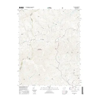
2016 Map of Flat Gap
USGS Topo · Published 2016About this map
Pine Mountain and Cumberland Mountain dominate this corner of the central Appalachians, marking the rugged boundary where Kentucky and Virginia meet. The landscape is defined by the Tennessee Valley Divide, where waters split between the North Fork Pound River flowing east and the Poor Fork Cumberland River trending west. Small mountain communities and family settlements such as Flat Gap, Dixiana, and Gilley are linked by narrow winding roads like Hale Gap Rd and Bee Branch Rd. Local genealogy is preserved in numerous upland burial grounds, including the Bolling Cem near the North Fork Pound River and the Roberts Branch Cem situated near the Letcher County line. Large portions of the terrain are protected within the Jefferson National Forest, preserving the steep ridges of Rogers Ridge and Buck Knob.
Find a feature on this map
88 named features on this map. Tap any name to fly to it.
Don’t see what you’re looking for? This feature index may not catch every label — zoom into the map to look around manually.
Map Details
Editions of this 2016 Flat Gap Map
This is the sole edition of this map. No revisions or reprints were ever made.
Other maps of this area

1890 · Whitesburg
USGS Topo · 1:125,000

1892 · Whitesburg
USGS Topo · 1:125,000

1894 · Estillville
USGS Topo · 1:125,000

1912 · Pound
USGS Topo · 1:48,000

1913 · Oven Fork
USGS Topo · 1:48,000

1914 · Pound
USGS Topo · 1:62,500

1915 · Whitesburg
USGS Topo · 1:62,500

1920 · Wise
USGS Topo · 1:48,000

1921 · Big Stone Gap
USGS Topo · 1:48,000

1921 · Wise
USGS Topo · 1:62,500