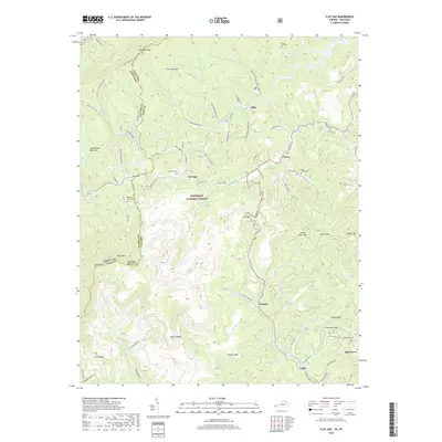
2019 Map of Flat Gap
USGS Topo · Published 2019About this map
Pine Mountain and Cumberland Mountain dominate the northern landscape of this Virginia-Kentucky border region, where the Kentucky Virginia state line traces the high ridges. Much of the central area is protected as part of the Jefferson National Forest, a terrain characterized by deep hollows like Poker Hollow and Wampler Hollow. The hydrologic complexity is defined by the Tennessee Valley Divide, which separates the headwaters of the Powell River and Guest River from the north-flowing Pound Fork. Small mountain communities such as Gilley, Dewey, and Flat Gap are situated along these watercourses and local routes like State Rte 707. For genealogists, the map identifies several hillside burial sites including Bolling Cem, Laurel Fork Cem, and the Roberts Branch Cem near the junction of Hubbard Dr.
Find a feature on this map
100 named features on this map. Tap any name to fly to it.
Don’t see what you’re looking for? This feature index may not catch every label — zoom into the map to look around manually.
Map Details
Editions of this 2019 Flat Gap Map
This is the sole edition of this map. No revisions or reprints were ever made.
Other maps of this area

1890 · Whitesburg
USGS Topo · 1:125,000

1892 · Whitesburg
USGS Topo · 1:125,000

1894 · Estillville
USGS Topo · 1:125,000

1912 · Pound
USGS Topo · 1:48,000

1913 · Oven Fork
USGS Topo · 1:48,000

1914 · Pound
USGS Topo · 1:62,500

1915 · Whitesburg
USGS Topo · 1:62,500

1920 · Wise
USGS Topo · 1:48,000

1921 · Big Stone Gap
USGS Topo · 1:48,000

1921 · Wise
USGS Topo · 1:62,500