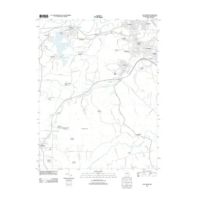
2011 Map of Flat River
USGS Topo · Published 2011About this map
Park Hills and Flat River serve as the central hubs of this 2011 Missouri survey, showcasing a dense network of mining-related history and industrial geography. The landscape is defined by its relation to the lead industry, most notably marked by the Leadwood Tailings Dam and the transition of former industrial sites into recreational spaces like St Joe State Park. Numerous smaller settlements and historical clusters such as Rivermines, Elvins, and Federal underscore the area's heritage of resource extraction and community growth. To the southwest, the terrain rises toward Simms Mountain and Sherrill Mountain, while the Bismarck Memorial Airport sits near the town of Bismarck. Genealogists will find a wealth of local markers, including Mitchell Cemetery, Gibson Cemetery, and Saint Johns Cemetery, which are scattered throughout the river valleys and hillside communities.
Find a feature on this map
121 named features on this map. Tap any name to fly to it.
Don’t see what you’re looking for? This feature index may not catch every label — zoom into the map to look around manually.
Map Details
Editions of this 2011 Flat River Map
This is the sole edition of this map. No revisions or reprints were ever made.
Other maps of this area

1904 · Farmington
USGS Topo · 1:62,500

1905 · Bonneterre
USGS Topo · 1:62,500

1906 · Farmington
USGS Topo · 1:62,500

1937 · Ironton
USGS Topo · 1:48,000

1939 · Fredericktown
USGS Topo · 1:48,000

1945 · Ironton
USGS Topo · 1:62,500

1946 · Ironton
USGS Topo · 1:62,500

1947 · Fredericktown
USGS Topo · 1:62,500

1949 · Rolla
USGS Topo · 1:250,000

1950 · Fredericktown
USGS Topo · 1:62,500