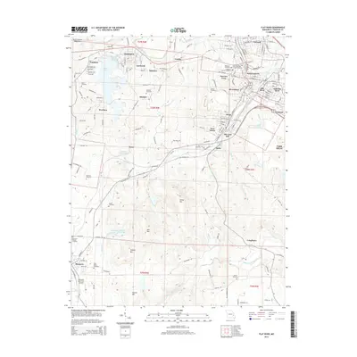
2015 Map of Flat River
USGS Topo · Published 2015About this map
The Lead Belt region of Missouri is documented here, showing a landscape deeply shaped by its industrial heritage. Industrial markers like the Leadwood Tailings Pond and Slime Pond near Federal sit alongside a dense cluster of worker settlements including Leadwood, Rivermines, and Elvins. The cultural diversity of these mining communities is reflected in the presence of the Nativity Holy Virgin Mary Orthodox Church and several fraternal burial grounds such as Workmens Cemetery and the Knights of Pythias Cemetery.
Find a feature on this map
167 named features on this map. Tap any name to fly to it.
Don’t see what you’re looking for? This feature index may not catch every label — zoom into the map to look around manually.
Map Details
Editions of this 2015 Flat River Map
This is the sole edition of this map. No revisions or reprints were ever made.
Other maps of this area

1904 · Farmington
USGS Topo · 1:62,500

1905 · Bonneterre
USGS Topo · 1:62,500

1906 · Farmington
USGS Topo · 1:62,500

1937 · Ironton
USGS Topo · 1:48,000

1939 · Fredericktown
USGS Topo · 1:48,000

1945 · Ironton
USGS Topo · 1:62,500

1946 · Ironton
USGS Topo · 1:62,500

1947 · Fredericktown
USGS Topo · 1:62,500

1949 · Rolla
USGS Topo · 1:250,000

1950 · Fredericktown
USGS Topo · 1:62,500