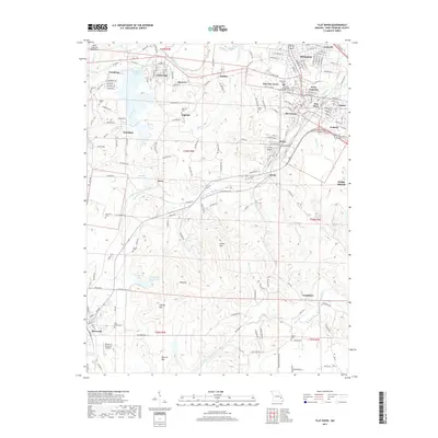
2017 Map of Flat River
USGS Topo · Published 2017About this map
The Saint Francois Mountains and the upper reaches of the Saint Francis River dominate this 2017 study of Missouri’s historic lead-mining district. In the north, the industrial footprint of the region’s mineral wealth is evident near Leadwood, where the Leadwood Tailings Pond remains a prominent feature of the landscape. The area is densely settled with numerous small communities including Desloge, Park Hills, and Bismarck. Genealogists and local historians will find a concentrated network of family and community landmarks, such as the Nativity Holy Virgin Mary Orthodox Church and several small burial grounds like Shaner Cem and Layne Cem. To the south, the terrain becomes more pronounced with features like Simms Mtn and Sherrill Mtn, framing the transition from the developed mining corridors to the more secluded valleys of the Big River and Hayden Cr.
Find a feature on this map
199 named features on this map. Tap any name to fly to it.
Don’t see what you’re looking for? This feature index may not catch every label — zoom into the map to look around manually.
Map Details
Editions of this 2017 Flat River Map
This is the sole edition of this map. No revisions or reprints were ever made.
Other maps of this area

1904 · Farmington
USGS Topo · 1:62,500

1905 · Bonneterre
USGS Topo · 1:62,500

1906 · Farmington
USGS Topo · 1:62,500

1937 · Ironton
USGS Topo · 1:48,000

1939 · Fredericktown
USGS Topo · 1:48,000

1945 · Ironton
USGS Topo · 1:62,500

1946 · Ironton
USGS Topo · 1:62,500

1947 · Fredericktown
USGS Topo · 1:62,500

1949 · Rolla
USGS Topo · 1:250,000

1950 · Fredericktown
USGS Topo · 1:62,500