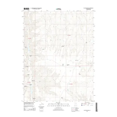
2014 Map of Flat Rock Mesa
USGS Topo · Published 2014About this map
Flat Rock Oil Field stands as a central industrial landmark within this expansive Uintah County landscape, situated atop the high plateau of Flat Rock Mesa. This 2014 survey captures a terrain defined by deep erosional cuts and complex drainage systems, where Hill Cr and Agency Draw carve through the geological layers of eastern Utah. The naming conventions across the quadrangle, including Big Doggie Canyon, Little Doggie Canyon, and Mail Canyon, suggest the historical movements of livestock and mail carriers through this high-desert environment.
Find a feature on this map
23 named features on this map. Tap any name to fly to it.
Don’t see what you’re looking for? This feature index may not catch every label — zoom into the map to look around manually.
Map Details
Editions of this 2014 Flat Rock Mesa Map
This is the sole edition of this map. No revisions or reprints were ever made.
Other maps of this area

1885 · East Tavaputs
USGS Topo · 1:250,000

1953 · Firewater Canyon
USGS Topo · 1:62,500

1956 · Grand Junction
USGS Topo · 1:250,000

1959 · Grand Junction
USGS Topo · 1:250,000

1960 · Grand Junction
USGS Topo · 1:250,000

1962 · Grand Junction
USGS Topo · 1:250,000

1963 · Tenmile Canyon
USGS Topo · 1:62,500

1963 · Moonwater Point
USGS Topo · 1:62,500

1964 · Grand Junction
USGS Topo · 1:250,000

1965 · Grand Junction
USGS Topo · 1:250,000